Hundeschule Pandora
Hundeschule Pandora is a dog park in Pirmasens, Palatinate, Rhineland-Palatinate which is located on Zeppelinstraße. Hundeschule Pandora is situated nearby to Neufferpark, as well as near the sports venue Messe Pirmasens Halle 5.| Tap on a place to explore it |
Places of Interest Nearby
Highlights include St. John’s Church and Pirmasens Hauptbahnhof.
St. John’s Church
Church

Photo: Akinom, Public domain.
St. John’s Church is situated 1 km west of Hundeschule Pandora.
Pirmasens Hauptbahnhof
Railway station

Photo: Wikimedia, Public domain.
Pirmasens Hauptbahnhof is a terminal station in the town of Pirmasens, in the German state of Rhineland-Palatinate, about one kilometre from the city centre. Pirmasens Hauptbahnhof is situated 1½ km west of Hundeschule Pandora.
Dynamikum
Museum

Photo: Kolling, CC BY-SA 3.0.
Dynamikum is a museum, which is situated 1½ km west of Hundeschule Pandora.
Places in the Area
Nearby places include Niedersimten and Winzeln.
Niedersimten
Suburb

Photo: Gerd Eichmann, CC BY-SA 4.0.
Niedersimten is a suburb, which is situated 3½ km south of Hundeschule Pandora.
Winzeln
Suburb

Photo: Gerd Eichmann, CC BY-SA 4.0.
Winzeln is a suburb, which is situated 4 km southwest of Hundeschule Pandora.
Rodalben
Village
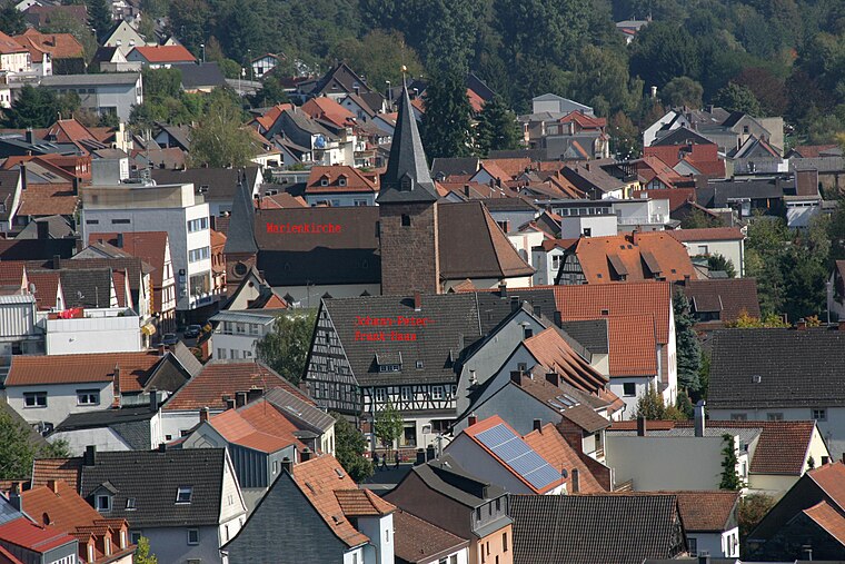
Photo: Gerd Eichmann, CC BY-SA 3.0.
Rodalben is a municipality in the Südwestpfalz district, in Rhineland-Palatinate, Germany. It is situated in the Palatinate forest, approx. 5 km northeast of Pirmasens. Rodalben is situated 4 km northeast of Hundeschule Pandora.
Hundeschule Pandora
- Type: Dog park
- Address: Zeppelinstraße 59, Pirmasens, 66953
- Category: recreation area
- Location: Pirmasens, Palatinate, Rhineland-Palatinate, Germany, Central Europe, Europe
- View on OpenStreetMap
Latitude
49.20502° or 49° 12′ 18″ northLongitude
7.61729° or 7° 37′ 2″ eastOpen location code
8FX96J48+2WOpenStreetMap ID
node 5099086939OpenStreetMap feature
leisure=dog_park
This page is based on OpenStreetMap, Wikidata, and Wikimedia Commons.
We’d love your help improving our open data sources. Thank you for contributing.
Satellite Map
Discover Hundeschule Pandora from above in high-definition satellite imagery.
Notable Places Nearby
Highlights include Neufferpark and Messe Pirmasens Halle 5.
Nearby Places
Explore places such as Messe Pirmasens and Zeppelinbrücke.
Palatinate: Must-Visit Destinations
Delve into Ludwigshafen, Speyer, Kaiserslautern, and Landau in der Pfalz.
Curious Dog Parks to Discover
Uncover intriguing dog parks from every corner of the globe.
About Mapcarta. Data © OpenStreetMap contributors and available under the Open Database License". Text is available under the CC BY-SA 4.0 license, except for photos, directions, and the map. Photo: Wikimedia, CC0.