Escuela Técnica Philips
Escuela Técnica Philips is a school in Comuna 13, Buenos Aires, Buenos Aires. Escuela Técnica Philips is situated nearby to the church Iglesia Cristiana Evangélica, as well as near the park Plaza San Miguel de Garicoits.| Tap on a place to explore it |
- Email: info@philips.edu.ar
- Type: School
- Address: Colegiales, Ciudad Autónoma de Buenos Aires, 1426
Places of Interest Nearby
Highlights include Federico Lacroze railway station and Simik Photographic Museum.
Federico Lacroze railway station
Railway station

Photo: Aleksandrs Timofejev…, CC BY 3.0.
Federico Lacroze railway station is a passenger railway station in Buenos Aires, Argentina. The station is located in the city's outlying barrio of Chacarita in a predominantly residential area. Federico Lacroze railway station is situated 1 km south of Escuela Técnica Philips.
Simik Photographic Museum
Museum
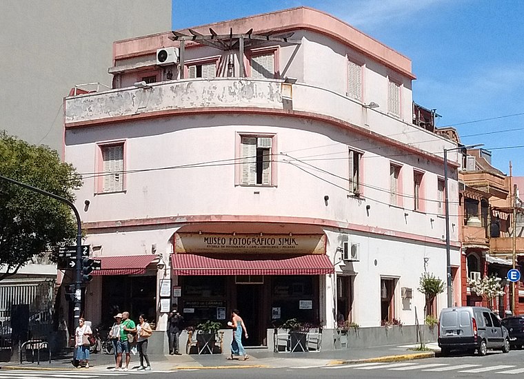
Photo: Roberto Fiadone, CC BY-SA 3.0.
Simik Photographic Museum is situated 800 metres south of Escuela Técnica Philips.
Plazoleta Zarraga
Park

Photo: Canopus49, CC BY-SA 3.0.
Plazoleta Zarraga is a park, which is situated 580 metres northwest of Escuela Técnica Philips.
Places in the Area
Nearby places include Casa Colectiva Parque Los Andes and Outskirts.
Casa Colectiva Parque Los Andes
Neighborhood

Photo: Roberto Fiadone, CC BY-SA 4.0.
Casa Colectiva Parque Los Andes is a neighborhood.
Outskirts

Photo: china, CC BY-SA 2.0.
Belgrano is a northern barrio or neighborhood of Buenos Aires, Argentina. It is made up of middle and upper class people. Belgrano has three distinct areas: the main one that is made up of apartment buildings, Belgrano "R" which is a leafy suburb area with English architecture, and Buenos Aires' Chinatown.
Barrio Chino
Neighborhood

Photo: Wikimedia, CC BY 2.5 ar.
Buenos Aires' Chinatown, locally known as Barrio Chino, is a largely commercial section about five blocks long in the barrio of Belgrano, Buenos Aires.
Escuela Técnica Philips
- Category: education
- Location: Comuna 13, Buenos Aires, Buenos Aires, Pampas, Argentina, South America
- View on OpenStreetMap
Latitude
-34.57736° or 34° 34′ 39″ southLongitude
-58.45574° or 58° 27′ 21″ westOpen location code
48Q3CGFV+3POpenStreetMap ID
node 5117402544OpenStreetMap feature
amenity=school
This page is based on OpenStreetMap, Wikidata, and Wikimedia Commons.
We’d love your help improving our open data sources. Thank you for contributing.
Satellite Map
Discover Escuela Técnica Philips from above in high-definition satellite imagery.
Notable Places Nearby
Highlights include Iglesia Cristiana Evangélica and Plaza San Miguel de Garicoits.
Nearby Places
Explore places such as CMB 11 and 1001.
Buenos Aires: Must-Visit Destinations
Delve into Centro, Palermo & Recoleta, La Boca & Barracas, and Outskirts.
Curious Schools to Discover
Uncover intriguing schools from every corner of the globe.
About Mapcarta. Data © OpenStreetMap contributors and available under the Open Database License". Text is available under the CC BY-SA 4.0 license, except for photos, directions, and the map. Photo: Moemoemoe, CC0.