Monasterio Del Sagrado Corazón De Jesús
Monasterio Del Sagrado Corazón De Jesús is a church in Altea, Costa Blanca, Valencian Community. Monasterio Del Sagrado Corazón De Jesús is situated nearby to the church Convento Carmelitas Descalzas, as well as near Iglesia Carmelitas Descalzas.| Tap on a place to explore it |
Places of Interest Nearby
Highlights include Baixador de Cap Negret and Torre de Bellaguarda.
Baixador de Cap Negret
Transport stop

Photo: Dorieo, CC BY-SA 4.0.
Baixador de Cap Negret is a transport stop, which is situated 1¼ km southwest of Monasterio Del Sagrado Corazón De Jesús.
Torre de Bellaguarda
Scenic viewpoint

Photo: Joanbanjo, CC BY-SA 4.0.
Torre de Bellaguarda is a scenic viewpoint, which is situated 2½ km southwest of Monasterio Del Sagrado Corazón De Jesús.
Train station Altea
Railway station

Photo: Superchilum, CC BY-SA 4.0.
Train station Altea is a railway station, which is situated 3 km southwest of Monasterio Del Sagrado Corazón De Jesús.
Places in the Area
Nearby places include Altea la Vella and L’Albir.

L’Albir
Suburb
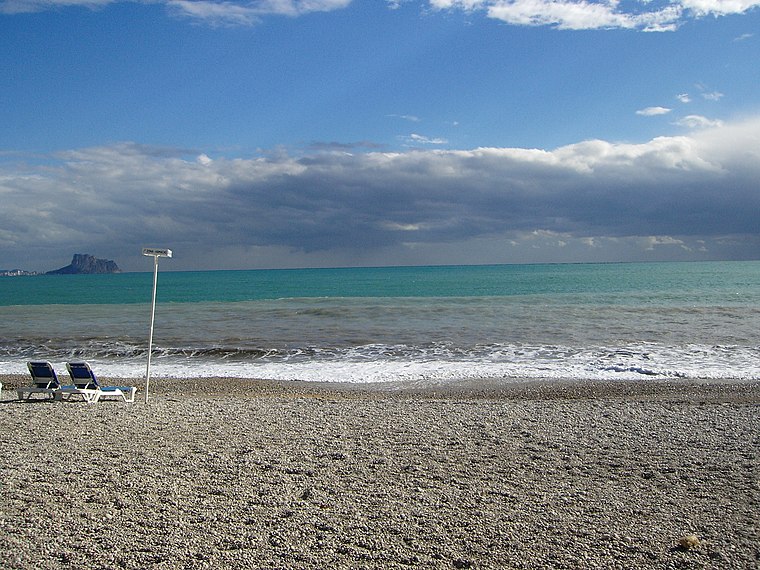
Photo: Jackrm, Public domain.
L’Albir is a suburb, which is situated 6 km southwest of Monasterio Del Sagrado Corazón De Jesús.
Calpe

Photo: JavierValencia2005, CC BY-SA 4.0.
Calpe is a town in the Costa Blanca region of Alicante, Spain. It is a very popular tourist resort, especially with British and German tourists, and also has a large expat community.
Monasterio Del Sagrado Corazón De Jesús
- Type: Church
- Categories: place of worship and religion
- Location: Altea, Costa Blanca, Alicante, Valencian Community, Eastern Spain, Spain, Iberia, Europe
- View on OpenStreetMap
Latitude
38.61842° or 38° 37′ 6″ northLongitude
-0.02938° or 0° 1′ 46″ westOpen location code
8CCXJX9C+96OpenStreetMap ID
node 5138294843OpenStreetMap feature
amenity=place_of_worship
This page is based on OpenStreetMap, Wikidata, and Wikimedia Commons.
We’d love your help improving our open data sources. Thank you for contributing.
Satellite Map
Discover Monasterio Del Sagrado Corazón De Jesús from above in high-definition satellite imagery.
Notable Places Nearby
Highlights include Convento Carmelitas Descalzas and Iglesia Carmelitas Descalzas.
Nearby Places
Explore places such as Chiringuito Sigarro and Los Jazmines.
Costa Blanca: Must-Visit Destinations
Delve into Alicante, Elche, Benidorm, and Torrevieja.
Curious Churches to Discover
Uncover intriguing churches from every corner of the globe.
About Mapcarta. Data © OpenStreetMap contributors and available under the Open Database License". Text is available under the CC BY-SA 4.0 license, except for photos, directions, and the map. Photo: Superchilum, CC BY-SA 4.0.