Luxiry 66
Luxiry 66 is a bar in Fuenlabrada, Madrid, Community of Madrid which is located on Calle de Galicia. Luxiry 66 is situated nearby to the church María Auxiliadora, as well as near the health club Dos Deporte El Naranjo.| Tap on a place to explore it |
- Type: Bar
- Address: Calle de Galicia 32, Fuenlabrada, 28942
- Wheelchair access: yes
Places of Interest Nearby
Highlights include Estadio Fernando Torres and La Serna.
Estadio Fernando Torres
Stadium

Photo: Rowley, CC BY-SA 4.0.
The Estadio Fernando Torres is a multi-use stadium located in Fuenlabrada, Community of Madrid, Spain. It is currently used for football matches and is the home stadium of CF Fuenlabrada. Estadio Fernando Torres is situated 2 km southwest of Luxiry 66.
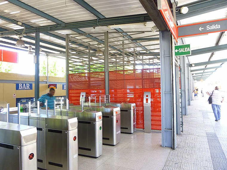
Parque Europa
Metro station

Photo: Malopez 21, CC BY-SA 4.0.
Parque Europa is a station on Line 12 of the Madrid Metro, named for the nearby Parque Europa. It is located in fare Zone B2. Parque Europa is situated 1½ km south of Luxiry 66.
Places in the Area
Nearby places include San Nicasio and Vereda de los Estudiantes.
San Nicasio
Suburb

Photo: Chaluco, Public domain.
San Nicasio is a suburb, which is situated 5 km northeast of Luxiry 66.
Vereda de los Estudiantes
Suburb

Photo: Malopez 21, CC BY-SA 4.0.
Vereda de los Estudiantes is a suburb, which is situated 5 km northeast of Luxiry 66.
Móstoles

Photo: Wikimedia, CC BY-SA 3.0.
Móstoles is a city in the Community of Madrid and it is the second largest in the region. Móstoles hosts the CA2M the museum with the contemporary art collection of the Community of Madrid.
Luxiry 66
- Location: Fuenlabrada, Madrid, Community of Madrid, Central Spain, Spain, Iberia, Europe
- View on OpenStreetMap
Latitude
40.30027° or 40° 18′ 1″ northLongitude
-3.8095° or 3° 48′ 34″ westOpen location code
8CGR852R+46OpenStreetMap ID
node 5141133152OpenStreetMap feature
amenity=barOpenStreetMap attribute
wheelchair=yes
This page is based on OpenStreetMap, Wikidata, and Wikimedia Commons.
We’d love your help improving our open data sources. Thank you for contributing.
Satellite Map
Discover Luxiry 66 from above in high-definition satellite imagery.
Notable Places Nearby
Highlights include María Auxiliadora and Parroquia de María Auxiliadora.
Nearby Places
Explore places such as Saray and Habana veterinaria.
Community of Madrid: Must-Visit Destinations
Delve into Madrid, Alcalá de Henares, Getafe, and Aranjuez.
Curious Bars to Discover
Uncover intriguing bars from every corner of the globe.
About Mapcarta. Data © OpenStreetMap contributors and available under the Open Database License". Text is available under the CC BY-SA 4.0 license, except for photos, directions, and the map. Photo: Wikimedia, CC0.