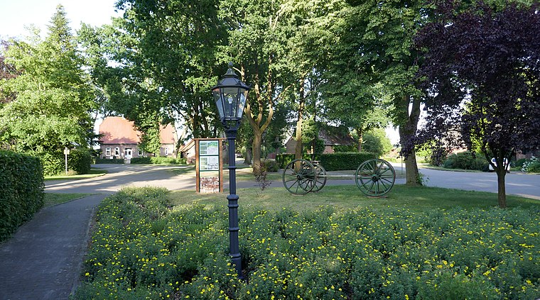
1200 Jahre Döhlen (1982)
1200 Jahre Döhlen (1982) is a memorial in Großenkneten, Oldenburg, Lower Saxony. 1200 Jahre Döhlen (1982) is situated nearby to the pond Löschteich, as well as near Döhler Badesee.| Tap on a place to explore it |
Places of Interest Nearby
Highlights include Döhler Wehe and Großsteingräber bei Huntlosen.

Großsteingräber bei Huntlosen
Archaeological site

Photo: Einsamer Schütze, CC BY-SA 3.0.
Großsteingräber bei Huntlosen is an archaeological site, which is situated 2 km northwest of 1200 Jahre Döhlen (1982).
Huntloser Moor
Nature reserve

Photo: Ralf Krebs, CC BY 3.0.
Huntloser Moor is a nature reserve, which is situated 3 km east of 1200 Jahre Döhlen (1982).
Places in the Area
Nearby places include Großenkneten and Sandhatten.
Großenkneten
Village

Photo: WilfriedC, CC BY-SA 3.0.
Großenkneten is a municipality in the district of Oldenburg, in Lower Saxony, Germany. Großenkneten is situated 3 km south of 1200 Jahre Döhlen (1982).
Sandhatten
Village
 Sandhatten is a village, which is situated 7 km northeast of 1200 Jahre Döhlen (1982).
Osenberge
Locality
The Osenberge is a dune region up to 23 m above sea level high in the district of Oldenburg, Lower Saxony. Osenberge is situated 7 km north of 1200 Jahre Döhlen (1982).
1200 Jahre Döhlen (1982)
- Type: Memorial
- Inscription: “1200 Jahre Döhlen (1982)”
- Category: historic site
- Location: Großenkneten, Oldenburg, Lower Saxony, Germany, Central Europe, Europe
- View on OpenStreetMap
Latitude
52.96791° or 52° 58′ 5″ northLongitude
8.24844° or 8° 14′ 54″ eastOpen location code
9F4CX69X+59OpenStreetMap ID
node 5141978799OpenStreetMap feature
historic=memorial
This page is based on OpenStreetMap, Wikidata, and Wikimedia Commons.
We’d love your help improving our open data sources. Thank you for contributing.
Satellite Map
Discover 1200 Jahre Döhlen (1982) from above in high-definition satellite imagery.
Notable Places Nearby
Highlights include Löschteich and Döhler Badesee.
Nearby Places
Explore places such as Denkmal 1870/71 and Krumlander Straße.
Lower Saxony: Must-Visit Destinations
Delve into Hanover, Göttingen, Brunswick, and Wolfsburg.
Curious Memorials to Discover
Uncover intriguing memorials from every corner of the globe.
About Mapcarta. Data © OpenStreetMap contributors and available under the Open Database License". Text is available under the CC BY-SA 4.0 license, except for photos, directions, and the map. Photo: Danapit, CC BY-SA 3.0.