Sárkány-szikla
Sárkány-szikla is in Nógrád County, Northern Hungary. Sárkány-szikla is situated nearby to the post office Nemti Postapartner, as well as near the church Szent Mihály főangyal-templom.| Tap on a place to explore it |
Places of Interest Nearby
Highlights include Mátramindszent railway station.
Mátramindszent railway station
Railway station

Photo: IJoe, Public domain.
Mátramindszent railway station is situated 2½ km southeast of Sárkány-szikla.
Places in the Area
Nearby places include Maconka and Bátonyterenye.

Bátonyterenye

Photo: Wikimedia, CC BY-SA 2.5.
Bátonyterenye is a town in Nógrád County, Hungary, under the Mátra mountain range, beside the Zagyva river. As of 2022 census, it has a population of 11,296.
Kisterenye
Suburb
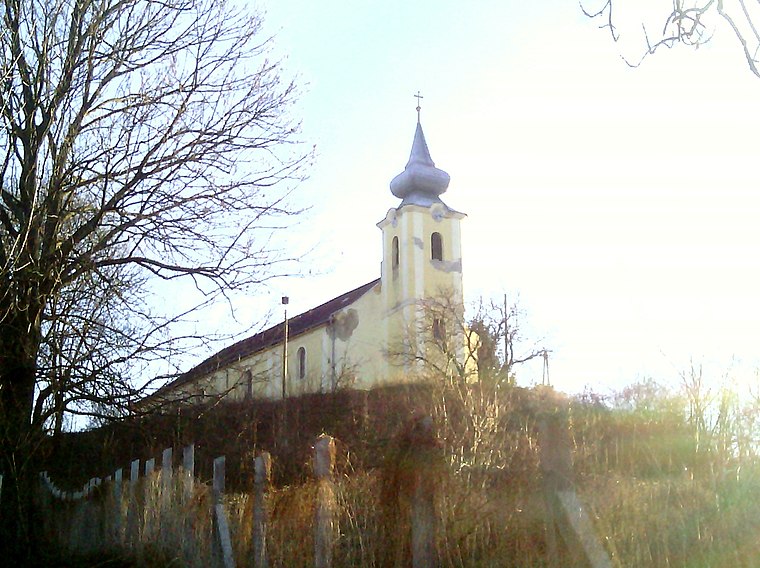
Photo: Rakás, CC BY-SA 4.0.
Kisterenye is a suburb, which is situated 6 km west of Sárkány-szikla.
Sárkány-szikla
- Type: Rock
- Category: landform
- Location: Nógrád County, Northern Hungary, Hungary, Central Europe, Europe
- View on OpenStreetMap
Latitude
48.00641° or 48° 0′ 23″ northLongitude
19.90815° or 19° 54′ 29″ eastOpen location code
8FWX2W45+H7OpenStreetMap ID
node 5167659734OpenStreetMap feature
natural=rock
This page is based on OpenStreetMap, Wikidata, and Wikimedia Commons.
We’d love your help improving our open data sources. Thank you for contributing.
Satellite Map
Discover Sárkány-szikla from above in high-definition satellite imagery.
Notable Places Nearby
Highlights include Nemti Postapartner and Szent Mihály főangyal-templom.
Nearby Places
Explore places such as Fiókgyógyszertár Nemti and Nemti, Kossuth út.
Nógrád County: Must-Visit Destinations
Delve into Salgótarján, Hollókő, Balassagyarmat, and Szécsény.
Curious Places to Discover
Uncover intriguing places from every corner of the globe.
About Mapcarta. Data © OpenStreetMap contributors and available under the Open Database License". Text is available under the CC BY-SA 4.0 license, except for photos, directions, and the map. Photo: Pe-Jo, CC BY-SA 3.0.