Patkó Dűlő
Patkó Dűlő is a locality in Borsod-Abaúj-Zemplén County, Northern Hungary. Patkó Dűlő is situated nearby to the locality Bocskor, as well as near Tölgyes.| Tap on a place to explore it |
Places of Interest
Highlights include Kunhalom.

Places in the Area
Nearby places include Szentistvánbaksa and Alsódobsza.
Szentistvánbaksa
Village
 Szentistvánbaksa is a village in the middle of Borsod-Abaúj-Zemplén County in northeastern Hungary, in short Baksa. It stands in a hilly area in the valley of the river Hernád, immediately south of Nagykinisz, between the Main roads 3 and 37, northeast of Miskolc and Szikszó, and northwest of Szerencs and Megyaszó.
Alsódobsza
Village

Photo: Tothh417, CC BY-SA 4.0.
Alsódobsza is a village in Borsod-Abaúj-Zemplén county, Hungary. Alsódobsza is situated 3 km southwest of Patkó Dűlő.
Megyaszó
Village
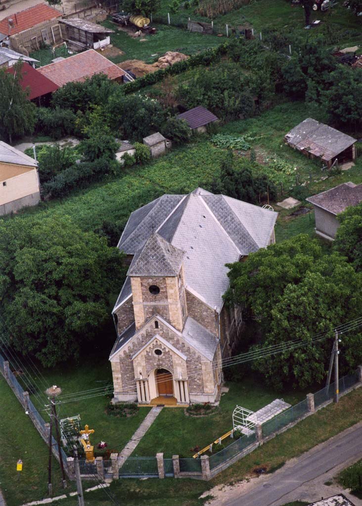
Photo: Civertan, CC BY-SA 3.0.
Megyaszó is a village in Borsod-Abaúj-Zemplén County in northeastern Hungary. Megyaszó is situated 3½ km southeast of Patkó Dűlő.
Patkó Dűlő
- Type: Locality
- Location: Borsod-Abaúj-Zemplén County, Northern Hungary, Hungary, Central Europe, Europe
- View on OpenStreetMap
Latitude
48.20676° or 48° 12′ 24″ northLongitude
21.01867° or 21° 1′ 7″ eastOpen location code
8GW36249+PFOpenStreetMap ID
node 5221311503OpenStreetMap feature
place=locality
This page is based on OpenStreetMap, Wikidata, and Wikimedia Commons.
We’d love your help improving our open data sources. Thank you for contributing.
Satellite Map
Discover Patkó Dűlő from above in high-definition satellite imagery.
Localities in the Area
Explore places such as Bocskor and Tölgyes.
Notable Places Nearby
Highlights include Sugoró and Bikarét.
Borsod-Abaúj-Zemplén County: Must-Visit Destinations
Delve into Miskolc, Sátoraljaújhely, Kazincbarcika, and Ózd.
Curious Localities to Discover
Uncover intriguing localities from every corner of the globe.
About Mapcarta. Data © OpenStreetMap contributors and available under the Open Database License". Text is available under the CC BY-SA 4.0 license, except for photos, directions, and the map. Photo: Peterszvitek, CC BY-SA 3.0.