Mistol Redondo
Mistol Redondo is a dwelling in Departamento de Río Hondo, Santiago del Estero Province. Mistol Redondo is situated nearby to the village Villa Río Hondo.| Tap on a place to explore it |
Places in the Area
Nearby places include Villa Río Hondo and Villa Turística Embalse.
Villa Río Hondo
Village
Villa Río Hondo is a municipality and village in Santiago del Estero in Argentina. Villa Río Hondo is situated 6 km west of Mistol Redondo.
Villa Turística Embalse
Village
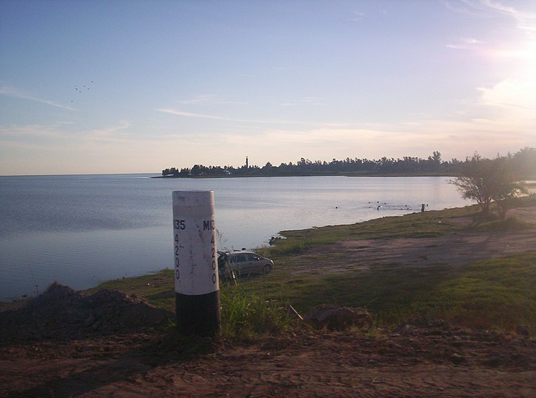
Photo: gustavochavez, CC BY 3.0.
Villa Turística Embalse is a village, which is situated 9 km northwest of Mistol Redondo.
Termas de Río Hondo
Town

Photo: Alpertron, CC BY-SA 4.0.
Termas de Río Hondo is a spa city in Santiago del Estero Province, Argentina. It has 27,838 inhabitants as per the 2001 census. It is located on the banks of the Dulce River, 65 km north of the provincial capital Santiago del Estero, near the artificial Río Hondo Lake. Termas de Río Hondo is situated 9 km north of Mistol Redondo.
Mistol Redondo
- Type: Dwelling
- Categories: locality, residential building, and building
- Location: Departamento de Río Hondo, Santiago del Estero Province, Argentina, South America
- View on OpenStreetMap
Latitude
-27.57574° or 27° 34′ 33″ southLongitude
-64.85457° or 64° 51′ 17″ westOpen location code
574QC4FW+P5OpenStreetMap ID
node 5223276478OpenStreetMap feature
place=isolated_dwelling
This page is based on OpenStreetMap, Wikidata, and Wikimedia Commons.
We’d love your help improving our open data sources. Thank you for contributing.
Satellite Map
Discover Mistol Redondo from above in high-definition satellite imagery.
Notable Places Nearby
Highlights include Instituto de Investigación y Desarrollo Aplicado de Hidrobiología and Central Hidroeléctrica Río Hondo.
Nearby Places
Explore places such as Divisadero and Agrupamiento 86040 Escuela 950.
Argentina: Must-Visit Destinations
Delve into Buenos Aires, Misiones, Aconcagua, and Rosario.
Curious Dwellings to Discover
Uncover intriguing dwellings from every corner of the globe.
About Mapcarta. Data © OpenStreetMap contributors and available under the Open Database License". Text is available under the CC BY-SA 4.0 license, except for photos, directions, and the map. Photo: Wikimedia, CC0.