Esperanza
Esperanza is a railway stop in Hortaleza, Madrid, Community of Madrid. Esperanza is situated nearby to the square Plaza de Nuestra Señora del Tránsito, as well as near the public building Centro Municipal de Mayores ‘Nuestra Señora de la Merced’.| Tap on a place to explore it |
Places of Interest Nearby
Highlights include Esperanza and Lycée Français de Madrid.
Esperanza
Metro station

Photo: Draceane, CC BY-SA 4.0.
Esperanza is a metro station on Line 4 of the Madrid Metro. It is located in fare Zone A. It is named for the Esperanza housing development. Manu Chao's 2001 album Próxima Estación: Esperanza is named after the metro station.
Lycée Français de Madrid
School

Photo: Zaqarbal, CC BY-SA 3.0 es.
Lycée Français de Madrid is a French international school in Madrid, Spain. It serves levels maternelle until lycée. It is directly operated by the Agency for French Education Abroad. Lycée Français de Madrid is situated 400 metres east of Esperanza.
Iglesia de Nuestra Señora del Tránsito
Church

Photo: Totemkin, CC BY-SA 3.0.
Iglesia de Nuestra Señora del Tránsito is a church, which is situated 570 metres northwest of Esperanza.
Places in the Area
Nearby places include Canillas and Piovera.
Canillas
Quarter

Photo: Ricardo Ricote Rodrí…, CC BY 3.0.
Canillas is a ward of Madrid, Spain, and belongs to the district of Hortaleza. It is also home to Parroquia de Santa Paula.
Piovera
Quarter

Photo: Malopez 21, CC BY-SA 4.0.
Piovera is an administrative neighborhood of Spain's capital city Madrid, and belongs to the district of Hortaleza. Featuring a residential area consisting of single detached dwellings, the neighborhood is inhabited by affluent people, and it hosts several embassies.
Colina
Quarter
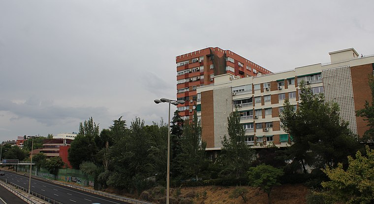
Photo: Asqueladd, CC BY-SA 3.0.
Colina is a ward of Madrid belonging to the district of Ciudad Lineal.
Esperanza
- Type: Railway stop
- Categories: transport stop and transportation
- Location: Hortaleza, Madrid, Madrid, Community of Madrid, Central Spain, Spain, Iberia, Europe
- View on OpenStreetMap
Latitude
40.4593° or 40° 27′ 34″ northLongitude
-3.64556° or 3° 38′ 44″ westOperator
Metro de MadridOpen location code
8CGRF953+PQOpenStreetMap ID
node 5296502796OpenStreetMap feature
public_transport=stop_positionOpenStreetMap feature
railway=stop
This page is based on OpenStreetMap, Wikidata, and Wikimedia Commons.
We’d love your help improving our open data sources. Thank you for contributing.
Satellite Map
Discover Esperanza from above in high-definition satellite imagery.
Places with the Same Name
Discover other places named “Esperanza”.
Notable Places Nearby
Highlights include Plaza de Nuestra Señora del Tránsito and Centro Municipal de Mayores ‘Nuestra Señora de la Merced’.
Nearby Places
Explore places such as Esperanza and Instituto de Educación Secundaria Conde de Orgaz.
Madrid: Must-Visit Destinations
Delve into Sol-Letras-Lavapiés, Salamanca, Retiro-Paseo del Arte, and Chamberí-Castellana.
Curious Railway Stops to Discover
Uncover intriguing railway stops from every corner of the globe.
About Mapcarta. Data © OpenStreetMap contributors and available under the Open Database License". Text is available under the CC BY-SA 4.0 license, except for photos, directions, and the map. Photo: DonPaolo, CC BY-SA 3.0.