Portazgo
Portazgo is a railway stop in Puente de Vallecas, Madrid, Community of Madrid. Portazgo is situated nearby to the marketplace Mercado Numancia, as well as near Vallecas Stadium.| Tap on a place to explore it |
Places of Interest Nearby
Highlights include Vallecas Stadium and Portazgo.
Vallecas Stadium
Stadium
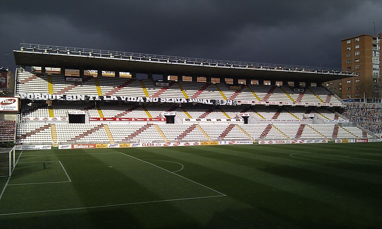
Photo: K3T0, CC BY 2.5 es.
Campo de Fútbol de Vallecas is a football stadium in the Madrid district of Puente de Vallecas, Spain. It currently hosts football matches and is the home of Primera Division club Rayo Vallecano. Vallecas Stadium is situated 140 metres south of Portazgo.
Portazgo
Metro station

Photo: Draceane, CC BY-SA 4.0.
Portazgo is a station on Line 1 of the Madrid Metro. It is located in fare Zone A, and has been open to the public since 7 March 1962.
Museo de Bomberos de Madrid
Museum

Photo: Contando Estrelas, CC BY-SA 2.0.
Museo de Bomberos de Madrid is a museum, which is situated 490 metres east of Portazgo.
Places in the Area
Nearby places include Puente de Vallecas and San Diego.
Puente de Vallecas
Suburb
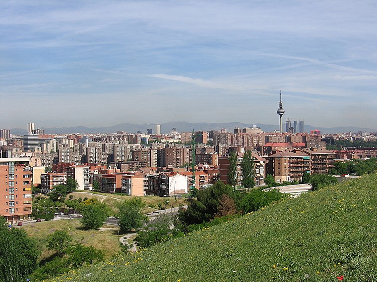
Photo: rubenhood, CC BY-SA 2.0.
Puente de Vallecas is one of the 21 districts of the city of Madrid, Spain. It forms, with the district of Villa de Vallecas, the geographical area of Vallecas.
San Diego
Quarter

Photo: Stromare, CC BY-SA 3.0.
San Diego is an administrative neighborhood of Madrid belonging to the district of Puente de Vallecas.
Numancia
Quarter

Photo: frankblacknoir, CC BY-SA 3.0.
Numancia is an administrative neighborhood of Madrid belonging to the district of Puente de Vallecas. It has an area of 1.849172 km2. As of 1 March 2020, it has a population of 48,815.
Portazgo
- Type: Railway stop
- Wheelchair access: no
- Categories: transport stop and transportation
- Location: Puente de Vallecas, Madrid, Madrid, Community of Madrid, Central Spain, Spain, Iberia, Europe
- View on OpenStreetMap
Latitude
40.393° or 40° 23′ 35″ northLongitude
-3.65921° or 3° 39′ 33″ westOperator
Metro de MadridOpen location code
8CGR98VR+68OpenStreetMap ID
node 5299217008OpenStreetMap feature
public_transport=stop_positionOpenStreetMap feature
railway=stopOpenStreetMap attribute
wheelchair=no
This page is based on OpenStreetMap, Wikidata, and Wikimedia Commons.
We’d love your help improving our open data sources. Thank you for contributing.
Satellite Map
Discover Portazgo from above in high-definition satellite imagery.
Places with the Same Name
Discover other places named “Portazgo”.
Notable Places Nearby
Highlights include Mercado Numancia and Dirección Civil de Gestión Ambiental Urbana.
Nearby Places
Explore places such as Portazgo and Rayo.
Madrid: Must-Visit Destinations
Delve into Sol-Letras-Lavapiés, Salamanca, Retiro-Paseo del Arte, and Chamberí-Castellana.
Curious Railway Stops to Discover
Uncover intriguing railway stops from every corner of the globe.
About Mapcarta. Data © OpenStreetMap contributors and available under the Open Database License". Text is available under the CC BY-SA 4.0 license, except for photos, directions, and the map. Photo: DonPaolo, CC BY-SA 3.0.