Nevèra
Nevèra is a cave in Centovalli, Locarno District, Ticino. Nevèra is situated nearby to the church Chiesetta di Bordei, as well as near the cemetery Cimitero di Bordei.| Tap on a place to explore it |
Places of Interest Nearby
Highlights include Gridone and Sant’Anna Church.
Gridone
Peak

Photo: Acp, CC BY-SA 3.0.
The Gridone, Ghiridone or Monte Limidario is a mountain of the Lepontine Alps, overlooking Lake Maggiore near Brissago. At 2,188 metres above sea level, its summit straddles the border between Italy and Switzerland.
Sant’Anna Church
Church

Photo: Wikimedia, CC BY-SA 3.0.
Sant’Anna Church is situated 1½ km north of Nevèra.
Lago di Palagnedra
Reservoir
 Lago di Palagnedra is a manmade lake at Palagnedra, Ticino, Switzerland. The reservoir has a capacity of 4,260,000 m3 and a surface area of 25 ha. The dam on the Melezza river was completed in 1952, height 72 m. Lago di Palagnedra is situated 3 km northwest of Nevèra.
Places in the Area
Nearby places include Rasa and Palagnedra.

Palagnedra
Village

Photo: Xenophon, CC BY-SA 3.0.
Palagnedra is a village and a locality part of the municipality of Centovalli in the district of Locarno in the canton of Ticino in Switzerland. Lago di Palagnedra is located below the village, on the Melezza river.
Verdasio
Hamlet
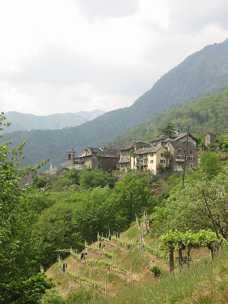
Photo: Saynwittgenstein, Public domain.
Verdasio is a hamlet, which is situated 2½ km north of Nevèra.
Nevèra
- Type: Cave
- Category: landform
- Location: Centovalli, Locarno District, Ticino, Switzerland, Central Europe, Europe
- View on OpenStreetMap
Latitude
46.14196° or 46° 8′ 31″ northLongitude
8.64787° or 8° 38′ 52″ eastOpen location code
8FRC4JRX+Q4OpenStreetMap ID
node 5300966072OpenStreetMap feature
natural=cave_entrance
This page is based on OpenStreetMap, Wikidata, and Wikimedia Commons.
We’d love your help improving our open data sources. Thank you for contributing.
Satellite Map
Discover Nevèra from above in high-definition satellite imagery.
Places with the Same Name
Discover other places named “Nevèra”.
Notable Places Nearby
Highlights include Chiesetta di Bordei and Il Cinghiale.
Nearby Places
Explore places such as Osteria di Bordei and Proggia.
Ticino: Must-Visit Destinations
Delve into Lugano, Bellinzona, Locarno, and Ascona.
Curious Caves to Discover
Uncover intriguing caves from every corner of the globe.
About Mapcarta. Data © OpenStreetMap contributors and available under the Open Database License". Text is available under the CC BY-SA 4.0 license, except for photos, directions, and the map. Photo: Wikimedia, CC BY-SA 3.0.