Gars am Kamp
Gars am Kamp is a monitoring station in Gars am Kamp, Horn District, Lower Austria. Gars am Kamp is situated nearby to the wayside shrine Türkenmarterl Kotzendorf, as well as near Dreilindenhof.| Tap on a place to explore it |
Places of Interest Nearby
Highlights include Türkenmarterl Kotzendorf and Raaberkreuz.
Türkenmarterl Kotzendorf
Wayside shrine

Photo: Manfred Kuzel, CC BY-SA 4.0.
Türkenmarterl Kotzendorf is a wayside shrine, which is situated 720 metres east of Gars am Kamp.
Raaberkreuz
Wayside shrine

Photo: Ailura, CC BY-SA 3.0 at.
Raaberkreuz is a wayside shrine, which is situated 1¼ km west of Gars am Kamp.
Raaberkreuz
Wayside shrine

Photo: Robert Heilinger, CC BY-SA 3.0.
Raaberkreuz is a wayside shrine, which is situated 1½ km west of Gars am Kamp.
Places in the Area
Nearby places include Maiersch and Freischling.

Freischling
Village
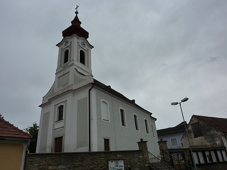
Photo: BSonne, CC BY-SA 3.0.
Freischling is a village, which is situated 3 km southeast of Gars am Kamp.
Zitternberg
Village

Photo: Wikimedia, Public domain.
Zitternberg is a village, which is situated 3 km west of Gars am Kamp.
Gars am Kamp
- Type: Monitoring station
- Location: Gars am Kamp, Horn District, Lower Austria, Austria, Central Europe, Europe
- View on OpenStreetMap
Latitude
48.59194° or 48° 35′ 31″ northLongitude
15.7° or 15° 42′ eastElevation
273 metres (896 feet)Operator
GeoSphere AustriaOpen location code
8FWQHMRX+QXOpenStreetMap ID
node 5305222615OpenStreetMap feature
man_made=monitoring_station
This page is based on OpenStreetMap, Wikidata, and Wikimedia Commons.
We’d love your help improving our open data sources. Thank you for contributing.
Satellite Map
Discover Gars am Kamp from above in high-definition satellite imagery.
Places with the Same Name
Discover other places named “Gars am Kamp”.
Notable Places Nearby
Highlights include Dreilindenhof and Spielplatz.
Nearby Places
Explore places such as REBLOC GmbH and Sägewerk Aigner.
Lower Austria: Must-Visit Destinations
Delve into St. Pölten, Wiener Neustadt, Amstetten, and Klosterneuburg.
Curious Monitoring Stations to Discover
Uncover intriguing monitoring stations from every corner of the globe.
About Mapcarta. Data © OpenStreetMap contributors and available under the Open Database License". Text is available under the CC BY-SA 4.0 license, except for photos, directions, and the map. Photo: Lonezor, CC BY-SA 3.0.