Kankurin taito
Kankurin taito is a shop in Kokkola, Central Ostrobothnia. Kankurin taito is situated nearby to the square Mannerheiminaukio, as well as near the community center Backstage.| Tap on a place to explore it |
Places of Interest Nearby
Highlights include Kokkola Old Town Hall and K. H. Renlund museum.
Kokkola Old Town Hall
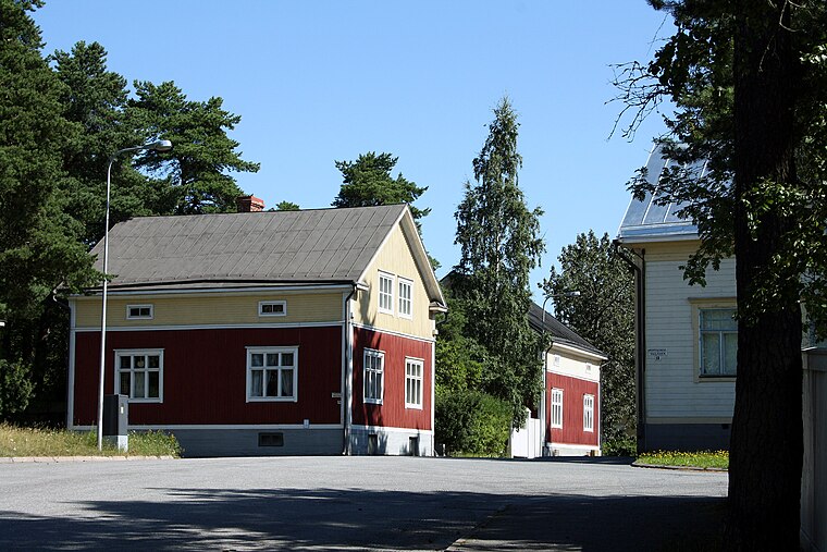
Theater building

Photo: Zunter, CC BY-SA 4.0.
Kokkola Old Town Hall is a theater building.
K. H. Renlund museum
Museum

Photo: Jukka68, CC BY-SA 3.0.
K. H. Renlund museum is situated 180 metres south of Kankurin taito.
Kokkola Church
Church

Photo: Tomisti, CC BY-SA 3.0.
Kokkola Church is situated 110 metres southwest of Kankurin taito.
Places in the Area
Nearby places include Mäntykangas and Såka.
Såka
Village
Såka is a settlement in the municipality of Kokkola, in the province of Western Finland. Såka has a population of 900 and covers an area 40 square kilometres. Såka is situated 9 km south of Kankurin taito.
Kankurin taito
- Type: Shop
- Location: Kokkola, Kokkola, Central Ostrobothnia, West Coast, Finland, Nordic countries, Europe
- View on OpenStreetMap
Latitude
63.83882° or 63° 50′ 20″ northLongitude
23.12946° or 23° 7′ 46″ eastOpen location code
9GM5R4QH+GQOpenStreetMap ID
node 5313879198OpenStreetMap feature
shop=yes
This page is based on OpenStreetMap, Wikidata, and Wikimedia Commons.
We’d love your help improving our open data sources. Thank you for contributing.
Satellite Map
Discover Kankurin taito from above in high-definition satellite imagery.
Notable Places Nearby
Highlights include Mannerheiminaukio and Backstage.
Nearby Places
Explore places such as Hammasklinikka Rytivaara and Terveystalo Kokkola.
Central Ostrobothnia: Must-Visit Destinations
Delve into Kannus, Kaustinen, and Inland Central Ostrobothnia.
Curious Shops to Discover
Uncover intriguing shops from every corner of the globe.
About Mapcarta. Data © OpenStreetMap contributors and available under the Open Database License". Text is available under the CC BY-SA 4.0 license, except for photos, directions, and the map. Photo: Ypsilon from Finland, CC0.