Healey Road
Healey Road is a bus stop in North Lincolnshire, England. Healey Road is situated nearby to St Luke’s Primary School, as well as near the community center Community Centre.| Tap on a place to explore it |
Places of Interest Nearby
Highlights include Scunthorpe and Ashby Library and Local Link.
Scunthorpe
Railway station

Photo: Ian Paterson, CC BY-SA 2.0.
Scunthorpe railway station serves the town of Scunthorpe in North Lincolnshire, England. The station is located a short walk from the town centre, on Station Road. Scunthorpe is situated 1¼ miles northwest of Healey Road.
Ashby Library and Local Link
Community center
 Ashby Library and Local Link is a community center, which is situated 1 mile southwest of Healey Road.
St Bede’s Catholic Voluntary Academy
School
St Bede's Catholic Voluntary Academy is a mixed Roman Catholic secondary school located in Scunthorpe, North Lincolnshire, England. St Bede’s Catholic Voluntary Academy is situated 3,100 feet southwest of Healey Road.
Places in the Area
Nearby places include Frodingham and Ashby.
Frodingham
Suburb

Photo: fred roberts, CC BY-SA 2.0.
Frodingham is a historic hamlet and now a suburb of Scunthorpe in the borough of North Lincolnshire, in Lincolnshire, England. The village lay directly to the south of Scunthorpe town centre, the name Frodingham is now often used to refer to the area directly to the north of the town centre.
Ashby
Suburb
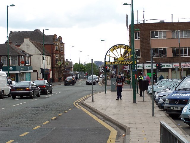
Photo: Steve Parker, CC BY-SA 2.0.
Ashby is a suburb of Scunthorpe, in the North Lincolnshire district, in the ceremonial county of Lincolnshire, England.
Scunthorpe

Photo: Voice of Clam, Public domain.
Scunthorpe is an industrial town in Lincolnshire, England, and the county's third most populous settlement after Lincoln and Grimsby, with a population of 81,286 in 2021.
Healey Road
- Type: Bus stop
- Also known as: “Rutland Road”
- Category: transportation
- Location: North Lincolnshire, England, United Kingdom, Britain and Ireland, Europe
- View on OpenStreetMap
Latitude
53.57323° or 53° 34′ 24″ northLongitude
-0.63389° or 0° 38′ 2″ westOpen location code
9C5XH9F8+7COpenStreetMap ID
node 533865921OpenStreetMap feature
highway=bus_stopOpenStreetMap feature
public_transport=platform
This page is based on OpenStreetMap, Wikidata, and Wikimedia Commons.
We’d love your help improving our open data sources. Thank you for contributing.
Satellite Map
Discover Healey Road from above in high-definition satellite imagery.
Places with the Same Name
Discover other places named “Healey Road”.
Notable Places Nearby
Highlights include St Luke’s Primary School and Community Centre.
Nearby Places
Explore places such as First Choice Flooring and Canton Chinese Takeaway.
England: Must-Visit Destinations
Delve into London, Manchester, Sheffield, and Leeds.
Curious Bus Stops to Discover
Uncover intriguing bus stops from every corner of the globe.
About Mapcarta. Data © OpenStreetMap contributors and available under the Open Database License". Text is available under the CC BY-SA 4.0 license, except for photos, directions, and the map. Photo: sidibousaid, CC BY 2.0.