Bunker dell’Obelisco di Opicina
Bunker dell’Obelisco di Opicina is a cave in Trieste, Friuli-Venezia Giulia. Bunker dell’Obelisco di Opicina is situated nearby to the monument Opicina obelisk, as well as near the tram stop Campo Romano.| Tap on a place to explore it |
Places of Interest Nearby
Highlights include Opicina obelisk and Villa Opicina railway station.

Villa Opicina railway station
Railway station
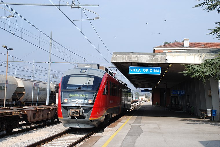
Photo: Pklos, CC BY-SA 4.0.
Villa Opicina railway station is situated 1½ km northeast of Bunker dell’Obelisco di Opicina.
Vittoria Light

Photo: Taogecko, CC BY-SA 4.0.
Vittoria Light also known as the Victory Lighthouse, is an active lighthouse in Trieste, Italy, serving the Gulf of Trieste. It is located on the Hill of Gretta, off the Strada del Friuli. Vittoria Light is situated 2 km west of Bunker dell’Obelisco di Opicina.
Places in the Area
Nearby places include Sottomonte and Opicina.

Opicina
Town
Opicina, formerly Poggioreale del Carso in Italian, is a town in northeastern Italy, close to the Slovenian border at Fernetti. Opicina is a frazione of the comune of Trieste, the provincial and regional capital.
Barcola
Suburb

Photo: Tiesse, Public domain.
Barcola is a maritime neighbourhood of Trieste, Italy. It is a popular tourist destination with beaches and long promenades, near the Habsburg-established Miramare Castle.
Bunker dell’Obelisco di Opicina
- Type: Cave
- Category: landform
- Location: Trieste, Province of Trieste, Friuli-Venezia Giulia, Northeast Italy, Italy, Europe
- View on OpenStreetMap
Latitude
45.68072° or 45° 40′ 51″ northLongitude
13.78108° or 13° 46′ 52″ eastOpen location code
8FQMMQJJ+7COpenStreetMap ID
node 5390695999OpenStreetMap feature
natural=cave_entrance
This page is based on OpenStreetMap, Wikidata, and Wikimedia Commons.
We’d love your help improving our open data sources. Thank you for contributing.
Satellite Map
Discover Bunker dell’Obelisco di Opicina from above in high-definition satellite imagery.
Notable Places Nearby
Highlights include Obelisco and Campo Romano.
Nearby Places
Explore places such as Bertoloni and Ex Hotel Obelisco.
Friuli-Venezia Giulia: Must-Visit Destinations
Delve into Udine, Aquileia, Gorizia, and Pordenone.
Curious Caves to Discover
Uncover intriguing caves from every corner of the globe.
About Mapcarta. Data © OpenStreetMap contributors and available under the Open Database License". Text is available under the CC BY-SA 4.0 license, except for photos, directions, and the map. Photo: Dodos2013, CC BY-SA 3.0.