Torsten Faltin
Torsten Faltin is a photographer in Mönchengladbach, Düsseldorf, North Rhine-Westphalia which is located on Lindenstraße. Torsten Faltin is situated nearby to the sports venue Bezirkssportanlage Bergerfeld, as well as near the pitch Fortuna Mönchengladbach 07/10 e.V..| Tap on a place to explore it |
- Email: info@torstenfaltin.de
- Type: Photographer
- Address: Lindenstraße 139, Mönchengladbach, 41063
Places of Interest Nearby
Highlights include St. Anna and Abteiberg Museum.
St. Anna
Church

Photo: Wikimedia, CC BY-SA 3.0 de.
St. Anna is a church, which is situated 380 metres northwest of Torsten Faltin.
Abteiberg Museum
Museum
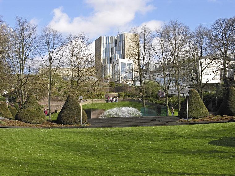
Photo: Hps-poll, CC BY-SA 3.0.
Museum Abteiberg is a municipal museum for contemporary art in the German city Mönchengladbach. Since the 1970s, the museum has been known for its experimental and avant-garde exhibitions, starting with director Johannes Cladders, and also its museum architecture, designed by Austrian architect Hans Hollein – a highpoint of postmodern design. Abteiberg Museum is situated 1½ km southeast of Torsten Faltin.
Kletterkirche
Sports venue

Photo: Wikimedia, CC BY-SA 3.0 de.
Kletterkirche is a sports venue, which is situated 1 km southwest of Torsten Faltin.
Places in the Area
Nearby places include Am Wasserturm and Lockhütte.

Lockhütte
Neighborhood
 Lockhütte is a neighborhood, which is situated 3½ km northeast of Torsten Faltin.
Lürrip
Neighborhood

Photo: Chris06, CC BY-SA 4.0.
Lürrip is a neighborhood, which is situated 4 km east of Torsten Faltin.
Torsten Faltin
- Category: workshop
- Location: Mönchengladbach, Düsseldorf, Lower Rhine, North Rhine-Westphalia, Germany, Central Europe, Europe
- View on OpenStreetMap
Latitude
51.20249° or 51° 12′ 9″ northLongitude
6.41766° or 6° 25′ 4″ eastOperator
Torsten FaltinOpen location code
9F386C29+X3OpenStreetMap ID
node 5409440112OpenStreetMap feature
craft=photographer
This page is based on OpenStreetMap, Wikidata, and Wikimedia Commons.
We’d love your help improving our open data sources. Thank you for contributing.
Satellite Map
Discover Torsten Faltin from above in high-definition satellite imagery.
Notable Places Nearby
Highlights include Bezirkssportanlage Bergerfeld and Fortuna Mönchengladbach 07/10 e.V..
Nearby Places
Explore places such as Metzenweg and wohnen+ideen.
Lower Rhine: Must-Visit Destinations
Delve into Düsseldorf, Krefeld, Neuss, and Kleve.
Curious Photographers to Discover
Uncover intriguing photographers from every corner of the globe.
About Mapcarta. Data © OpenStreetMap contributors and available under the Open Database License". Text is available under the CC BY-SA 4.0 license, except for photos, directions, and the map. Photo: CaS2000, CC BY-SA 3.0 de.