Kløfterhøj
Kløfterhøj is an archaeological site in Brønderslev Municipality, North Jutland. Kløfterhøj is situated nearby to the archaeological site Bakken, as well as near Ramleshøj.| Tap on a place to explore it |
Places of Interest Nearby
Highlights include Dronninglund Castle and Dronninglund Church.
Dronninglund Castle
Castle

Photo: Hubertus, CC BY-SA 3.0.
Dronninglund Castle is a former royal residence located in the town of Dronninglund in the northern part of the Jutland Peninsula, Denmark. Dronninglund Castle is situated 3½ km south of Kløfterhøj.
Dronninglund Church
Church

Photo: Bococo, CC BY-SA 3.0.
Dronninglund Church is situated 3½ km south of Kløfterhøj.
Dronninglund Hotel
Hotel
Dronninglund Hotel is a hotel in Dronninglund, Denmark. The hotel was established in 1981 and was refurbished in 1999. The hotel has 72 rooms. Dronninglund Hotel is situated 3½ km southeast of Kløfterhøj.
Places in the Area
Nearby places include Dronninglund and Dorf.
Dronninglund
 Dronninglund is a minor town in Vendsyssel with 3,500 inhabitants. The town is named after Queen Charlotte Amalie who got Dronninglund Slot in 1690.

Klokkerholm
Village
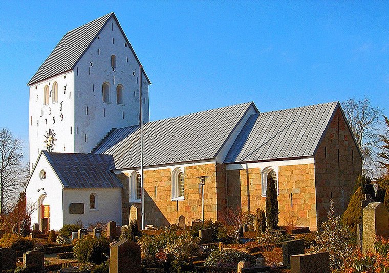
Photo: Bococo, CC BY-SA 3.0.
Klokkerholm is a village, with a population of 890, in Brønderslev Municipality, North Jutland Region in Denmark. It is located 6 km north of Hjallerup, 26 km northeast of Aalborg, 38 km southwest of Frederikshavn and 17 km east of Brønderslev. Klokkerholm is situated 7 km northwest of Kløfterhøj.
Kløfterhøj
- Type: Archaeological site
- Description: ancient monument in Brønderslev Municipality (11651)
- Categories: tumulus, historic site, tourist attraction, and tourism
- Location: Brønderslev Municipality, North Jutland, Jutland, Denmark, Nordic countries, Europe
- View on OpenStreetMap
Latitude
57.18613° or 57° 11′ 10″ northLongitude
10.25561° or 10° 15′ 20″ eastOpen location code
9F9G57P4+F6OpenStreetMap ID
node 5441042772OpenStreetMap feature
historic=archaeological_siteWikidata ID
Q30113630
This page is based on OpenStreetMap, Wikidata, and Wikimedia Commons.
We’d love your help improving our open data sources. Thank you for contributing.
Satellite Map
Discover Kløfterhøj from above in high-definition satellite imagery.
In Other Languages
“Kløfterhøj” goes by many names.
- Danish: “Kløfterhøj”
Notable Places Nearby
Highlights include Bakken and Ramleshøj.
Nearby Places
Explore places such as Spejdercentret Thorup Hede and Guldborg.
North Jutland: Must-Visit Destinations
Delve into Aalborg, Frederikshavn, Skagen, and Hjørring.
Curious Archaeological Sites to Discover
Uncover intriguing archaeological sites from every corner of the globe.
About Mapcarta. Data © OpenStreetMap contributors and available under the Open Database License". Text is available under the CC BY-SA 4.0 license, except for photos, directions, and the map. Photo: Slaunger, CC BY-SA 3.0.