Tam Tam Pagaie
Tam Tam Pagaie is a sports venue in Guadeloupe. Tam Tam Pagaie is situated nearby to the harbor Port de Morne Rouge, as well as near the locality Pointe Granger.| Tap on a place to explore it |
Places in the Area
Nearby places include Pointe Granger and Lamentin.

Lamentin
Town

Photo: Aristoi, CC BY-SA 3.0.
Lamentin is a commune in the French overseas department and region of Guadeloupe. It is part of the agglomeration of Pointe-à-Pitre, in the north part of Basse-Terre. Three islets are included in the commune: Christopher, Fajou, Caret. Lamentin is situated 6 km south of Tam Tam Pagaie.
Sainte-Rose
Town
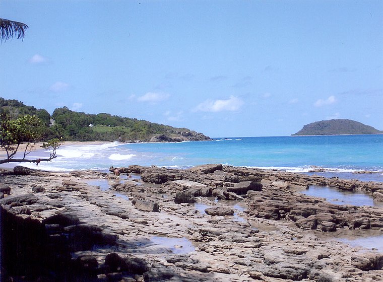
Photo: Wikimedia, CC BY-SA 3.0.
Sainte-Rose is a commune in the department of Guadeloupe. It is the second largest commune of Guadeloupe, in terms of area, after Petit-Bourg. Sainte-Rose lies on the coast of the island of Basse-Terre. Sainte-Rose is situated 6 km west of Tam Tam Pagaie.
Tam Tam Pagaie
- Type: Sports venue
- Categories: canoe, recreation area, and sports location
- Location: Guadeloupe, Lesser Antilles, Caribbean, North America
- View on OpenStreetMap
Latitude
16.31787° or 16° 19′ 4″ northLongitude
-61.64481° or 61° 38′ 41″ westOpen location code
778W8994+43OpenStreetMap ID
node 5448888121OpenStreetMap feature
leisure=sports_centreOpenStreetMap feature
sport=canoe
This page is based on OpenStreetMap, Wikidata, and Wikimedia Commons.
We’d love your help improving our open data sources. Thank you for contributing.
Satellite Map
Discover Tam Tam Pagaie from above in high-definition satellite imagery.
Notable Places Nearby
Highlights include Port de Morne Rouge and La Biche.
Nearby Places
Explore places such as La Flotte - Pôle Nautique Excursion En Mer Guadelo and Liberti’Boat.
Guadeloupe: Must-Visit Destinations
Delve into Pointe-à-Pitre, Sainte-Anne, Basse-Terre, and Grande-Terre.
Curious Sports Venues to Discover
Uncover intriguing sports venues from every corner of the globe.
About Mapcarta. Data © OpenStreetMap contributors and available under the Open Database License". Text is available under the CC BY-SA 4.0 license, except for photos, directions, and the map. Photo: Patrice78500, CC BY-SA 3.0.