Museo Etnográfico de Chapinería
Museo Etnográfico de Chapinería is a museum in Chapinería, Madrid, Community of Madrid which is located on Calle Prudencio Melo. Museo Etnográfico de Chapinería is situated nearby to the public building Palacio de la Sagra, as well as near the square Plaza Palacio.| Tap on a place to explore it |
Places of Interest Nearby
Highlights include Iglesia de Chapinería and El Bombo, Chapinería.

El Bombo, Chapinería
Monument

Photo: Wikimedia, Public domain.
El Bombo, Chapinería is a monument, which is situated 170 metres west of Museo Etnográfico de Chapinería.
Places in the Area
Nearby places include Navas del Rey and Colmenar del Arroyo.
Navas del Rey
Village

Photo: Asqueladd, CC BY-SA 3.0.
Navas del Rey is a municipality of the Community of Madrid, Spain. It is located 52 kilometers from the city of Madrid, which is accessed by the road M-501. Navas del Rey is situated 3½ km west of Museo Etnográfico de Chapinería.
Colmenar del Arroyo
Village

Photo: PePeEfe, CC BY-SA 4.0.
Colmenar del Arroyo is a municipality of the autonomous community of Madrid in central Spain. It belongs to the comarca of Las Vegas. Colmenar del Arroyo is situated 4½ km north of Museo Etnográfico de Chapinería.
Aldea del Fresno
Village
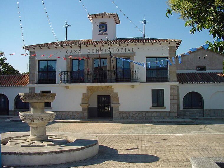
Photo: Wikimedia, CC BY 3.0 es.
Aldea del Fresno is a municipality of the autonomous community of the Community of Madrid in central Spain. Aldea del Fresno goes from north to south along the Alberche river. Aldea del Fresno is situated 6 km south of Museo Etnográfico de Chapinería.
Museo Etnográfico de Chapinería
- Type: Museum
- Address: Calle Prudencio Melo 21
- Categories: tourism and tourist attraction
- Location: Chapinería, Madrid, Community of Madrid, Central Spain, Spain, Iberia, Europe
- View on OpenStreetMap
Latitude
40.37754° or 40° 22′ 39″ northLongitude
-4.21003° or 4° 12′ 36″ westOpen location code
8CGQ9QHQ+2XOpenStreetMap ID
node 5456356324OpenStreetMap feature
tourism=museum
This page is based on OpenStreetMap, Wikidata, and Wikimedia Commons.
We’d love your help improving our open data sources. Thank you for contributing.
Satellite Map
Discover Museo Etnográfico de Chapinería from above in high-definition satellite imagery.
Notable Places Nearby
Highlights include Palacio de la Sagra and Plaza Palacio.
Nearby Places
Explore places such as Estatua Eloy Gonzalo and Escuela Municipal de Música Chapinería.
Community of Madrid: Must-Visit Destinations
Delve into Madrid, Alcalá de Henares, Getafe, and Aranjuez.
Curious Museums to Discover
Uncover intriguing museums from every corner of the globe.
About Mapcarta. Data © OpenStreetMap contributors and available under the Open Database License". Text is available under the CC BY-SA 4.0 license, except for photos, directions, and the map. Photo: Wikimedia, CC0.