ΑΓΙΟΙ ΑΝΑΡΓΥΡΟΙ
ΑΓΙΟΙ ΑΝΑΡΓΥΡΟΙ is a bus stop in Thessaloniki, Central Macedonia. ΑΓΙΟΙ ΑΝΑΡΓΥΡΟΙ is situated nearby to the church Ναός Αγίων Αναργύρων, as well as near the square πλατεία Αγίων Αναργύρων.| Tap on a place to explore it |
Places of Interest Nearby
Highlights include Pyrgos Aliseos and Heptapyrgion.
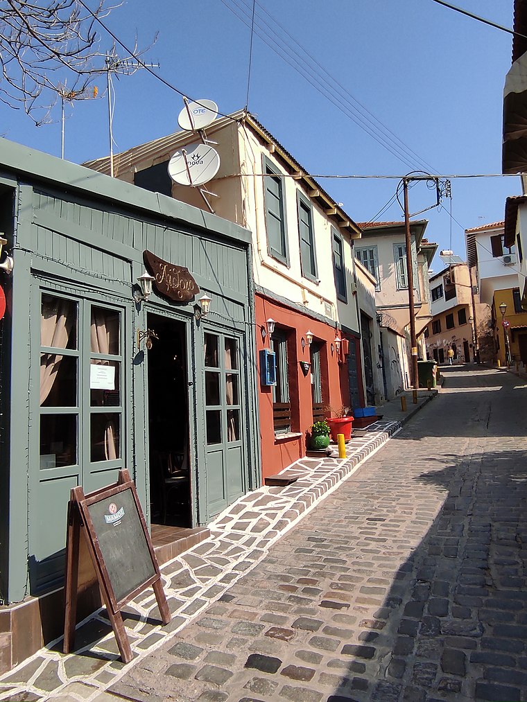
Pyrgos Aliseos

Photo: Falk2, CC BY-SA 4.0.
Pyrgos Aliseos is situated 100 metres south of ΑΓΙΟΙ ΑΝΑΡΓΥΡΟΙ.
Heptapyrgion

Photo: Dlinemedia, CC BY-SA 4.0.
The Heptapyrgion, modern Eptapyrgio, also popularly known by its Ottoman Turkish name Yedi Kule, is a Byzantine and Ottoman-era fortress situated on the north-eastern corner of the Acropolis of Thessaloniki in Greece. Heptapyrgion is situated 350 metres northeast of ΑΓΙΟΙ ΑΝΑΡΓΥΡΟΙ.
Vlatadon Monastery
Monastery

Photo: Stolbovsky, CC BY-SA 3.0.
Vlatades Monastery or Vlatadon Monastery is a monastery in Ano Poli, Thessaloniki, Greece. Built in the 14th century during the late era of the Byzantine Empire, it is a UNESCO World Heritage Site along with 14 other Paleochristian and Byzantine monuments of Thessaloniki because of its Byzantine architecture and importance of Thessaloniki during early and medieval Christianity. Vlatadon Monastery is situated 460 metres west of ΑΓΙΟΙ ΑΝΑΡΓΥΡΟΙ.
Places in the Area
Nearby places include Agios Pavlos and Upper Town.
Agios Pavlos
Suburb

Photo: Ymblanter, CC BY-SA 4.0.
Agios Pavlos is a suburb of the Thessaloniki Urban Area and a former municipality in Macedonia, Greece. Since the 2011 local government reform it is part of the municipality of Neapoli-Sykies, of which it is a municipal unit.
Upper Town
Suburb

Photo: PLAKLE, CC BY-SA 4.0.
Upper Town or Ano Poli is the old town of Thessaloniki and is located around the city's acropolis north of the city center. The neighborhood is known for its well preserved Byzantine and Ottoman era structures and urban design and as a center for Thessaloniki's poets, intellectuals, and bohemians.
ΑΓΙΟΙ ΑΝΑΡΓΥΡΟΙ
- Type: Bus stop
- Category: transportation
- Location: Thessaloniki, Thessaloniki, Central Macedonia, Greece, Balkans, Europe
- View on OpenStreetMap
Latitude
40.64159° or 40° 38′ 30″ northLongitude
22.95986° or 22° 57′ 36″ eastOpen location code
8GG4JXR5+JWOpenStreetMap ID
node 5478749155OpenStreetMap feature
highway=bus_stopOpenStreetMap feature
public_transport=platform
This page is based on OpenStreetMap, Wikidata, and Wikimedia Commons.
We’d love your help improving our open data sources. Thank you for contributing.
Satellite Map
Discover ΑΓΙΟΙ ΑΝΑΡΓΥΡΟΙ from above in high-definition satellite imagery.
Places with the Same Name
Discover other places named “ΑΓΙΟΙ ΑΝΑΡΓΥΡΟΙ”.
Notable Places Nearby
Highlights include Ναός Αγίων Αναργύρων and πλατεία Αγίων Αναργύρων.
Nearby Places
Explore places such as Ταβέρνα Κιώτης and 50th Primary School of Thessaloniki.
Greece: Must-Visit Destinations
Delve into Athens, Lesvos, Arcadia, and Heraklion.
Curious Bus Stops to Discover
Uncover intriguing bus stops from every corner of the globe.
About Mapcarta. Data © OpenStreetMap contributors and available under the Open Database License". Text is available under the CC BY-SA 4.0 license, except for photos, directions, and the map. Photo: Wikimedia, CC0.