Sweetie’s Candy
Sweetie’s Candy is a confectionery store in Los Angeles, Southern California, California which is located on Palm Avenue. Sweetie’s Candy is situated nearby to the health club Club Pilates, as well as near F45.| Tap on a place to explore it |
- Opening hours:
Monday—Thursday: 12:30 PM—9:30 PM
Friday—Saturday: 12:30 PM—10:30 PM - Type: Confectionery store
- Address: 164 Palm Avenue, 91502
Places of Interest Nearby
Highlights include Burbank City Hall and Downtown Burbank station.
Burbank City Hall
Town hall
 Burbank City Hall is the site of the municipal government of Burbank, California, and is listed on the National Register of Historic Places. Designed by architects William Allen and W. Burbank City Hall is situated 700 feet east of Sweetie’s Candy.
Downtown Burbank station
Railway station
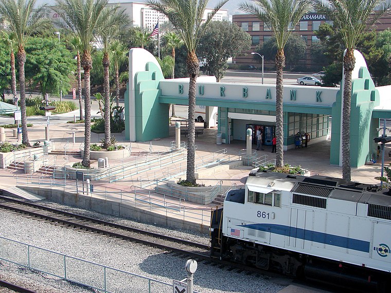
Photo: Gareth Simpson, CC BY 2.0.
Downtown Burbank station is a passenger rail station near downtown Burbank, California. It is served by Metrolink's Antelope Valley Line to Lancaster and Ventura County Line to East Ventura with both terminating at Los Angeles Union Station. Downtown Burbank station is situated 1,300 feet south of Sweetie’s Candy.
Burbank Town Center
Department store

Photo: Junkyardsparkle, CC0.
Burbank Town Center is a large shopping mall complex that opened in August 1991 in Burbank, California, United States. The three-level indoor mall is anchored by Macy's, Burlington, Sears, and ROUND1 Bowling & Amusement, with an open air shopping plaza anchored by Office Depot. Burbank Town Center is situated 770 feet northwest of Sweetie’s Candy.
Places in the Area
Nearby places include Burbank and North Hollywood.
Burbank

Photo: Gareth Simpson, CC BY 2.0.
The self-declared "Media Capital of the World", Burbank is a small city in the San Fernando Valley of Southern California, in the Los Angeles area. It is the home of the headquarters and primary studios of Warner Bros. and Disney, and of the animation studios of Cartoon Network and Nickelodeon.
North Hollywood

Photo: Cbl62, CC BY-SA 3.0.
North Hollywood is a district in the San Fernando Valley in the city of Los Angeles. Despite the similar name, North Hollywood does not share a border with Hollywood, which is several miles to the southeast.
Sweetie’s Candy
- Categories: shop and food
- Location: Los Angeles, Southern California, California, United States, North America
- View on OpenStreetMap
Latitude
34.18193° or 34° 10′ 55″ northLongitude
-118.31042° or 118° 18′ 38″ westOpen location code
85635MJQ+QROpenStreetMap ID
node 5512810108OpenStreetMap feature
shop=confectionery
This page is based on OpenStreetMap, Wikidata, and Wikimedia Commons.
We’d love your help improving our open data sources. Thank you for contributing.
Satellite Map
Discover Sweetie’s Candy from above in high-definition satellite imagery.
Notable Places Nearby
Highlights include Club Pilates and F45.
Nearby Places
Explore places such as Republik Coffee and Ben & Jerry’s.
Los Angeles: Must-Visit Destinations
Delve into Hollywood, San Gabriel Valley, San Fernando Valley, and Long Beach.
Curious Confectionery Stores to Discover
Uncover intriguing confectionery stores from every corner of the globe.
About Mapcarta. Data © OpenStreetMap contributors and available under the Open Database License". Text is available under the CC BY-SA 4.0 license, except for photos, directions, and the map. Photo: Mfield, CC BY-SA 3.0.