Wonthaggi & District Historical Museum
Wonthaggi & District Historical Museum is a museum in Bass Coast Shire, Victoria. Wonthaggi & District Historical Museum is situated nearby to Apex Park, as well as near Railway Station Museum.| Tap on a place to explore it |
Places of Interest Nearby
Highlights include State Coal Mine.
State Coal Mine
The State Coal Mine, also known as State Coal Mine Heritage Area, is a former 20th-century state-owned black coal mine located in Wonthaggi, Victoria, Australia. The mine was operational from 1910 until 1968 and is now a state park and tourist attraction. State Coal Mine is situated 2 km south of Wonthaggi & District Historical Museum.Places in the Area
Nearby places include Wonthaggi and Cape Paterson.
Wonthaggi

Photo: Wikimedia, CC BY-SA 2.0.
Wonthaggi is a town of about 8,400 people in South Gippsland, Victoria, Australia. It is on the Bass Highway, a few kilometres from the Bass Strait coast and east of Phillip Island.
Cape Paterson
Village
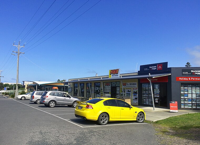
Photo: Dalysporter, CC BY-SA 3.0.
Cape Paterson is town located near the town of Wonthaggi, 132 kilometres south-east of Melbourne via the South Gippsland and Bass Highways, in the Bass Coast Shire of Gippsland, Victoria, Australia. Cape Paterson is situated 8 km south of Wonthaggi & District Historical Museum.
Wonthaggi & District Historical Museum
- Opening hours: Saturday 11:00 AM—1:00 PM
- Type: Museum
- Categories: tourism and tourist attraction
- Location: Bass Coast Shire, Victoria, Australia, Oceania
- View on OpenStreetMap
Latitude
-38.60411° or 38° 36′ 15″ southLongitude
145.59094° or 145° 35′ 27″ eastOpen location code
4RH79HWR+99OpenStreetMap ID
node 5549093921OpenStreetMap feature
tourism=museum
This page is based on OpenStreetMap, Wikidata, and Wikimedia Commons.
We’d love your help improving our open data sources. Thank you for contributing.
Satellite Map
Discover Wonthaggi & District Historical Museum from above in high-definition satellite imagery.
Notable Places Nearby
Highlights include Apex Park and Railway Station Museum.
Nearby Places
Explore places such as Wonthaggi Coal Mine Whistle and Mens Shed.
Victoria: Must-Visit Destinations
Delve into Melbourne, CBD, Geelong, and Ballarat.
Curious Museums to Discover
Uncover intriguing museums from every corner of the globe.
About Mapcarta. Data © OpenStreetMap contributors and available under the Open Database License". Text is available under the CC BY-SA 4.0 license, except for photos, directions, and the map. Photo: Ricmik, CC BY-SA 3.0.