MAGNISALIS
MAGNISALIS is a bus stop in Oraiokastro, Thessaloniki, Central Macedonia. MAGNISALIS is situated nearby to the sports venue Academica Sports Center, as well as near PDG Gymnastics.| Tap on a place to explore it |
Places of Interest Nearby
Highlights include Agios Athanasios church and Agrotikos Asteras Stadium.

Agrotikos Asteras Stadium
Sports venue
Dimitris Kontikakis Stadium otherwise known as Gipedo Evosmou is a football stadium located in the suburb of Evosmos in Thessaloniki, Greece. Agrotikos Asteras Stadium is situated 4 km south of MAGNISALIS.
Places in the Area
Nearby places include Efkseinoúpoli and Evosmos.
Efkseinoúpoli
Neighborhood

Photo: Paraphron, CC BY-SA 4.0.
Efkseinoúpoli is a neighborhood, which is situated 3 km southeast of MAGNISALIS.
Evosmos
Suburb
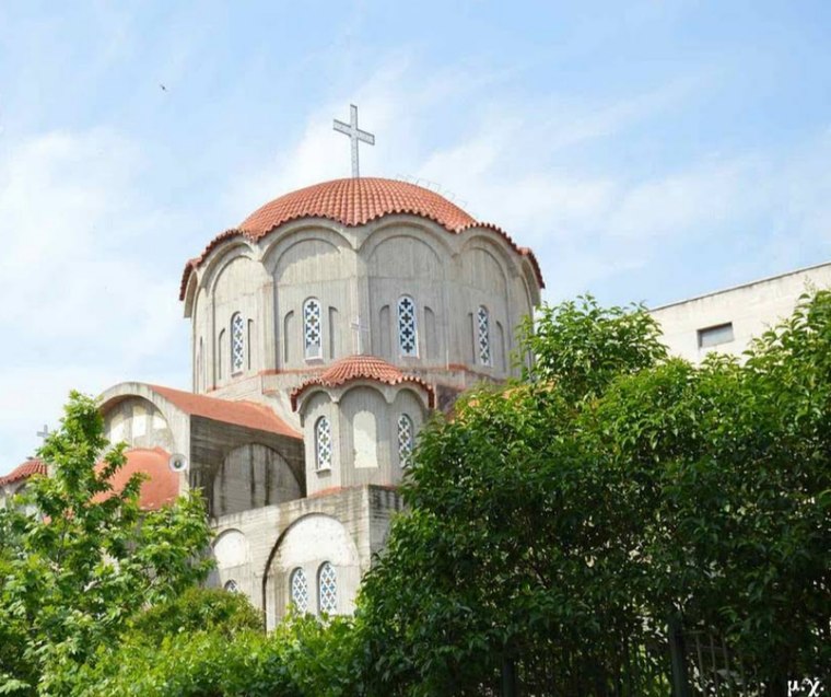
Photo: Jerotheo, CC BY-SA 4.0.
Evosmos is a suburb of the Thessaloniki Urban Area and was a former municipality in the regional unit of Thessaloniki, Macedonia, Greece. Since the 2011 local government reform it is part of the municipality Kordelio-Evosmos, of which it is the seat and a municipal unit. Evosmos is situated 3½ km south of MAGNISALIS.
Efkarpia
Suburb
Efkarpia, also known as Nea Efkarpia, is a suburb of the Thessaloniki Urban Area and a former municipality in the regional unit of Thessaloniki, Macedonia, Greece. Efkarpia is situated 4½ km southeast of MAGNISALIS.
MAGNISALIS
- Type: Bus stop
- Category: transportation
- Location: Oraiokastro, Thessaloniki, Central Macedonia, Greece, Balkans, Europe
- View on OpenStreetMap
Latitude
40.70261° or 40° 42′ 9″ northLongitude
22.90511° or 22° 54′ 18″ eastOpen location code
8GG4PW34+22OpenStreetMap ID
node 5589046896OpenStreetMap feature
highway=bus_stopOpenStreetMap feature
public_transport=platform
This page is based on OpenStreetMap, Wikidata, and Wikimedia Commons.
We’d love your help improving our open data sources. Thank you for contributing.
Satellite Map
Discover MAGNISALIS from above in high-definition satellite imagery.
In Other Languages
“MAGNISALIS” goes by many names.
- Greek: “ΜΑΓΝΗΣΑΛΗΣ”
Notable Places Nearby
Highlights include Academica Sports Center and PDG Gymnastics.
Nearby Places
Explore places such as ΔΙΑΚΑΚΗΣ and Magnisalis.
Greece: Must-Visit Destinations
Delve into Athens, Thessaloniki, Lesvos, and Arcadia.
Curious Bus Stops to Discover
Uncover intriguing bus stops from every corner of the globe.
About Mapcarta. Data © OpenStreetMap contributors and available under the Open Database License". Text is available under the CC BY-SA 4.0 license, except for photos, directions, and the map. Photo: Wikimedia, CC0.