Can Ronses
Can Ronses is a ruins in La Roca del Vallès, Barcelona, Catalonia. Can Ronses is situated nearby to the spring Font de la Mansa, as well as near the athletics track Inicio Corriol Gravedad 0.| Tap on a place to explore it |
Places of Interest Nearby
Highlights include Turó Gros and Roca Foradada de Can Planes.

Roca Foradada de Can Planes
Archaeological site

Photo: Clemens Schmillen, CC BY-SA 4.0.
Roca Foradada de Can Planes is an archaeological site, which is situated 540 metres north of Can Ronses.
Dolmen de Can Planes
Archaeological site

Photo: Clemens Schmillen, CC BY-SA 4.0.
Dolmen de Can Planes is an archaeological site, which is situated 1 km north of Can Ronses.
Places in the Area
Nearby places include Òrrius and Roquetes 1, les.
Òrrius
Village

Photo: Wikimedia, Public domain.
Òrrius is a village and municipality in the comarca of Maresme in the province of Barcelona and autonomous community of Catalonia, Spain. The municipality is delimited by La Roca del Vallès to the North, Vilassar de Dalt to the South East, Argentona to the south, and Cabrils to the southwest. Òrrius is situated 2½ km southeast of Can Ronses.
Roquetes 1, les
Neighborhood

Photo: Pere prlpz, CC BY-SA 4.0.
Roquetes 1, les is a neighborhood, which is situated 3 km southwest of Can Ronses.
Santa Agnès de Malanyanes
Village
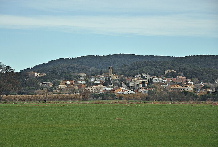
Photo: Alberto-g-rovi, CC BY 3.0.
Santa Agnès de Malanyanes is a village, which is situated 3 km north of Can Ronses.
Can Ronses
- Type: Ruins
- Category: historic site
- Location: La Roca del Vallès, Barcelona, Catalonia, Eastern Spain, Spain, Iberia, Europe
- View on OpenStreetMap
Latitude
41.57708° or 41° 34′ 38″ northLongitude
2.34077° or 2° 20′ 27″ eastOpen location code
8FH4H8GR+R8OpenStreetMap ID
node 5592800986OpenStreetMap feature
historic=ruins
This page is based on OpenStreetMap, Wikidata, and Wikimedia Commons.
We’d love your help improving our open data sources. Thank you for contributing.
Satellite Map
Discover Can Ronses from above in high-definition satellite imagery.
In Other Languages
“Can Ronses” goes by many names.
- Catalan: “Can Ronses”
Places with the Same Name
Discover other places named “Can Ronses”.
Notable Places Nearby
Highlights include Font de la Mansa and Inicio Corriol Gravedad 0.
Nearby Places
Explore places such as Can Vidalet and Can Santpere.
Barcelona: Must-Visit Destinations
Delve into Barcelona, Malgrat de Mar, Terrassa, and Badalona.
Curious Ruins to Discover
Uncover intriguing ruins from every corner of the globe.
About Mapcarta. Data © OpenStreetMap contributors and available under the Open Database License". Text is available under the CC BY-SA 4.0 license, except for photos, directions, and the map. Photo: Alex Micheu Photography, CC BY-SA 3.0.