Entrada peatonal
Entrada peatonal is a community center in Comuna 8, Buenos Aires, Buenos Aires. Entrada peatonal is situated nearby to the government office Instituto de Vivienda de la Ciudad, as well as near Oficina de Orientacion al Habitante - Ministerio Público de la Defensa CABA.| Tap on a place to explore it |
Places of Interest Nearby
Highlights include Pola and Plazoleta Aeronáutica Argentina.
Pola
Tram stop

Photo: Gobonobo, CC BY-SA 3.0.
Pola is a station on the Buenos Aires Premetro. After this station, the line branches off into two routes to its two southerly terminals. It was opened on 7 November 2006.
Plazoleta Aeronáutica Argentina
Park

Photo: Gobonobo, CC BY-SA 3.0.
Plazoleta Aeronáutica Argentina is a park, which is situated 290 metres southwest of Entrada peatonal.
Larrazábal
Tram stop

Photo: Gobonobo, CC BY-SA 3.0.
Larrazábal is a station on the Buenos Aires Premetro. The station is on the branch that terminates at General Savio station. It was opened on 29 April 1987 together with the other Premetro stations. Larrazábal is situated 350 metres south of Entrada peatonal.
Places in the Area
Nearby places include General Savio Neighborhood and Villa Lugano.
General Savio Neighborhood
Quarter
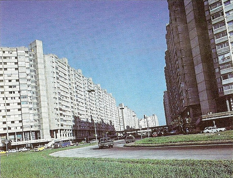
Photo: Wikimedia, Public domain.
General Savio Neighborhood is a quarter.
Villa Lugano
Suburb

Photo: Wikimedia, CC BY-SA 3.0.
Villa Lugano is a barrio in Buenos Aires, Argentina, located in the south of the city. It has a population of approximately 114,000 people. It is delimited by Avenida Eva Perón, Avenida General Paz, Calle José Barros Pazos, Avenida Lisandro de la Torre, Avenida Coronel Roca and Avenida Escalada.
Villa Riachuelo
Suburb

Photo: Wikimedia, CC BY-SA 3.0.
Villa Riachuelo is a barrio or neighborhood of Buenos Aires, Argentina. Located at the southernmost end of the city, Villa Riachuelo is bordered by the barrios of Villa Lugano to the north and Villa Soldati to the northeast, the Buenos Aires Province localities of Villa Fiorito and Lanús Oeste to the southeast and Ciudad Madero to the southwest.
Entrada peatonal
- Type: Community center
- Location: Comuna 8, Buenos Aires, Buenos Aires, Pampas, Argentina, South America
- View on OpenStreetMap
Latitude
-34.67748° or 34° 40′ 39″ southLongitude
-58.46502° or 58° 27′ 54″ westOpen location code
48Q38GFM+2XOpenStreetMap ID
node 5611679621OpenStreetMap feature
amenity=community_centre
This page is based on OpenStreetMap, Wikidata, and Wikimedia Commons.
We’d love your help improving our open data sources. Thank you for contributing.
Satellite Map
Discover Entrada peatonal from above in high-definition satellite imagery.
Notable Places Nearby
Highlights include Instituto de Vivienda de la Ciudad and Oficina de Orientacion al Habitante - Ministerio Público de la Defensa CABA.
Nearby Places
Explore places such as Gomería Marcelo and MZA 29.
Buenos Aires: Must-Visit Destinations
Delve into Centro, Palermo & Recoleta, La Boca & Barracas, and Outskirts.
Curious Community Centers to Discover
Uncover intriguing community centers from every corner of the globe.
About Mapcarta. Data © OpenStreetMap contributors and available under the Open Database License". Text is available under the CC BY-SA 4.0 license, except for photos, directions, and the map. Photo: Moemoemoe, CC0.