Lark Rise, adj
Lark Rise, adj is a bus stop in Bracon Ash, South Norfolk District, England. Lark Rise, adj is situated nearby to Mulbarton post Office, as well as near the deciduous forest Street Plantation.| Tap on a place to explore it |
Places of Interest Nearby
Highlights include Church of St Mary Magdalen and Church of St Nicholas.
Church of St Mary Magdalen
Church

Photo: John Salmon, CC BY-SA 2.0.
Church of St Mary Magdalen is situated 3,400 feet northeast of Lark Rise, adj.
Church of St Nicholas
Church

Photo: John Salmon, CC BY-SA 2.0.
Church of St Nicholas is situated 3,100 feet west of Lark Rise, adj.
Church of All Saints
Church
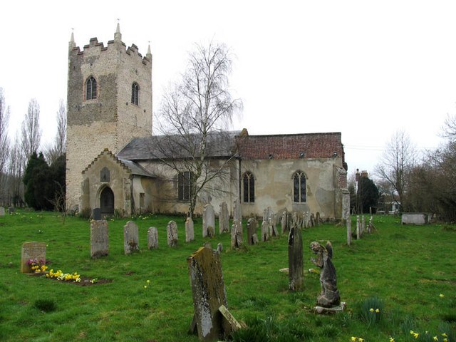
Photo: John Salmon, CC BY-SA 2.0.
Church of All Saints is situated 1 mile west of Lark Rise, adj.
Places in the Area
Nearby places include Swardeston and Hethel.
Swardeston
Village

Photo: Evelyn Simak, CC BY-SA 2.0.
Swardeston is a village four miles south of Norwich in Norfolk, England, on high ground above the Tas valley. It covers an area of 3.95 km2 and had a population of 619 at the 2011 census. Swardeston is situated 1½ miles northeast of Lark Rise, adj.
Hethel
Village
Hethel is a small village in the civil parish of Bracon Ash, in the English county of Norfolk. Hethel is located five miles south-east of the market town of Wymondham, and approximately ten miles south of the city of Norwich. Hethel is situated 2 miles west of Lark Rise, adj.
Newton Flotman
Village
Newton Flotman, meaning new farm or settlement, is a village and civil parish in the English county of Norfolk, lies about 7 miles south of Norwich on the A140 road between Tasburgh and Swainsthorpe. Newton Flotman is situated 2 miles southeast of Lark Rise, adj.
Lark Rise, adj
- Type: Bus stop
- Category: transportation
- Location: Bracon Ash, South Norfolk District, Norfolk, East of England, England, United Kingdom, Britain and Ireland, Europe
- View on OpenStreetMap
Latitude
52.55615° or 52° 33′ 22″ northLongitude
1.22792° or 1° 13′ 41″ eastOpen location code
9F43H64H+F5OpenStreetMap ID
node 562728887OpenStreetMap feature
highway=bus_stop
This page is based on OpenStreetMap, Wikidata, and Wikimedia Commons.
We’d love your help improving our open data sources. Thank you for contributing.
Satellite Map
Discover Lark Rise, adj from above in high-definition satellite imagery.
Notable Places Nearby
Highlights include Mulbarton post Office and Street Plantation.
Nearby Places
Explore places such as Lark Rise, opp and Hanover Gardens.
Norfolk: Must-Visit Destinations
Delve into Norwich, King’s Lynn, Great Yarmouth, and Norfolk Broads.
Curious Bus Stops to Discover
Uncover intriguing bus stops from every corner of the globe.
About Mapcarta. Data © OpenStreetMap contributors and available under the Open Database License". Text is available under the CC BY-SA 4.0 license, except for photos, directions, and the map. Photo: matthewhartley369, CC BY-SA 2.0.