Kolningsanläggning
Kolningsanläggning is an archaeological site in Umeå Municipality, Västerbotten County. Kolningsanläggning is situated nearby to the nature reserve Hässningberget, as well as near the scenic viewpoint Klabbölebänken.| Tap on a place to explore it |
Places of Interest Nearby
Highlights include Hässningberget and Arboretum Norr.

Arboretum Norr
Garden
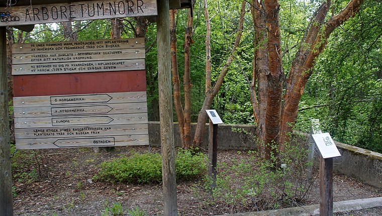
Photo: Captainswede2000, CC0.
Arboretum Norr is an arboretum in Baggböle, Sweden, on the Ume River, about eight kilometers west of Umeå city centre. Arboretum Norr is situated 3 km north of Kolningsanläggning.
Umeå Energicentrum
Museum

Photo: MikaelLindmark, CC BY-SA 3.0.
Umeå Energicentrum is a museum, which is situated 2 km north of Kolningsanläggning.
Places in the Area
Nearby places include Baggböle and Backen.
Baggböle
Village

Photo: Pål-Nils Nilsson, CC BY 3.0.
Baggböle is a small village on the Ume River in northern Sweden, approximately 8 km upstream of the city of Umeå. The village was a base for sawing local timber in the nineteenth century, with a sawmill powered by the water of the river rapids close to the village. Baggböle is situated 3 km north of Kolningsanläggning.
Backen
Suburb
 Backen is a residential area in Umeå, Sweden. It is home to Backen Church which dates from before 1314. Backen is situated 3½ km northeast of Kolningsanläggning.
Röbäck
Village
Röbäck is a locality situated in Umeå Municipality, Västerbotten County, Sweden with 2,230 inhabitants in 2010. Röbäck is situated 4 km east of Kolningsanläggning.
Kolningsanläggning
- Type: Archaeological site
- Categories: historic site, tourist attraction, and tourism
- Location: Umeå Municipality, Västerbotten County, Norrland, Sweden, Nordic countries, Europe
- View on OpenStreetMap
Latitude
63.81561° or 63° 48′ 56″ northLongitude
20.11046° or 20° 6′ 38″ eastOpen location code
9GM2R486+65OpenStreetMap ID
node 5643791413OpenStreetMap feature
historic=archaeological_site
This page is based on OpenStreetMap, Wikidata, and Wikimedia Commons.
We’d love your help improving our open data sources. Thank you for contributing.
Satellite Map
Discover Kolningsanläggning from above in high-definition satellite imagery.
Notable Places Nearby
Highlights include Kolningsanläggning and Klabbölebänken.
Nearby Places
Explore places such as Hässningberget and Klabböle.
Västerbotten County: Must-Visit Destinations
Delve into Umeå, Skellefteå, Lycksele, and Vilhelmina.
Curious Archaeological Sites to Discover
Uncover intriguing archaeological sites from every corner of the globe.
About Mapcarta. Data © OpenStreetMap contributors and available under the Open Database License". Text is available under the CC BY-SA 4.0 license, except for photos, directions, and the map. Photo: Wikimedia, CC BY-SA 3.0.