Deza Express
Deza Express is a convenience store in Haringey, Greater London, England. Deza Express is situated nearby to the church The People’s Christian Fellowship, as well as near Page Green Post Office.| Tap on a place to explore it |
Places of Interest Nearby
Highlights include Lee Valley and Tottenham Hale station.
Lee Valley
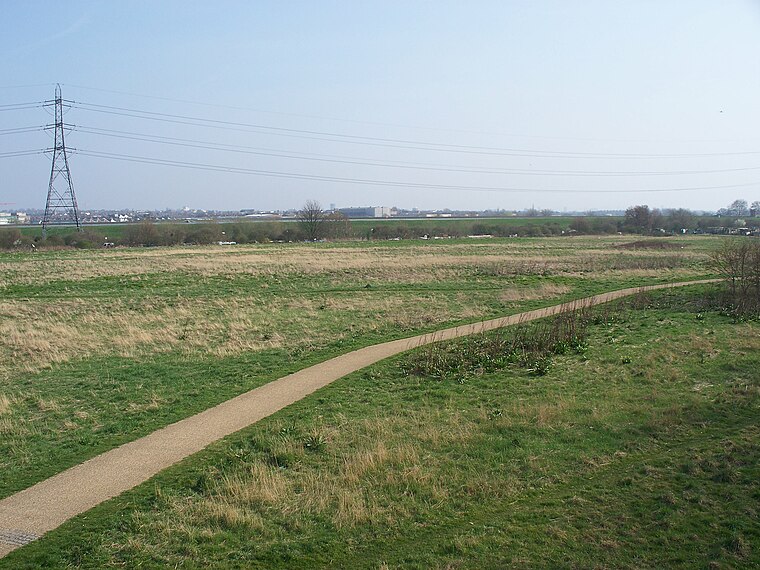
Photo: Iridescent, CC BY-SA 3.0.
The Lee Valley Regional Park is a 26-mile long park in Essex, Hertfordshire and London in England. It has had a special legal status for almost 80 years, set aside "for recreation, sport, entertainment and the enjoyment of leisure".
Tottenham Hale station
Railway station

Photo: Wikimedia, CC BY-SA 4.0.
Tottenham Hale is an interchange station located in Tottenham Hale, North London for London Underground and National Rail services. On the National Rail network it is on the West Anglia Main Line, 6 miles from London Liverpool Street, and is served by Greater Anglia and Stansted Express. Tottenham Hale station is situated 1,900 feet northeast of Deza Express.
South Tottenham railway station
Railway station

Photo: Tarquin Binary, CC BY-SA 2.5.
South Tottenham is a railway station on the Suffragette line of the London Overground. It is located on the eastern side of the A10 High Road in Tottenham, North London, 5 miles 69 chains from St Pancras and situated between Harringay Green Lanes and Blackhorse Road. South Tottenham railway station is situated 2,100 feet southwest of Deza Express.
Places in the Area
Nearby places include Tottenham Hale and Seven Sisters.
Tottenham Hale
Quarter

Photo: Acabashi, CC BY-SA 4.0.
Tottenham Hale is a district of north London and part of the London Borough of Haringey, bounded by the River Lea and located to the south/south-east of Tottenham proper.
Seven Sisters
Neighborhood

Photo: Hjuk, CC BY-SA 3.0.
Seven Sisters is a district of Tottenham, north London, England, at the eastern end of Seven Sisters Road, which runs from Tottenham High Road to join the A1 in Holloway.
Deza Express
- Type: Convenience store
- Categories: shop and food
- Location: Haringey, Greater London, England, United Kingdom, Britain and Ireland, Europe
- View on OpenStreetMap
Latitude
51.58483° or 51° 35′ 5″ northLongitude
-0.066° or 0° 3′ 58″ westOpen location code
9C3XHWMM+WHOpenStreetMap ID
node 5649538224OpenStreetMap feature
shop=convenience
This page is based on OpenStreetMap, Wikidata, and Wikimedia Commons.
We’d love your help improving our open data sources. Thank you for contributing.
Satellite Map
Discover Deza Express from above in high-definition satellite imagery.
Notable Places Nearby
Highlights include The People’s Christian Fellowship and Page Green Post Office.
Nearby Places
Explore places such as Stamford Road and N15 News & Supermarket.
England: Must-Visit Destinations
Delve into London, Manchester, Sheffield, and Leeds.
Curious Convenience Stores to Discover
Uncover intriguing convenience stores from every corner of the globe.
About Mapcarta. Data © OpenStreetMap contributors and available under the Open Database License". Text is available under the CC BY-SA 4.0 license, except for photos, directions, and the map. Photo: sidibousaid, CC BY 2.0.