Taylor Lane Off Licence
Taylor Lane Off Licence is a convenience store in Tameside, England. Taylor Lane Off Licence is situated nearby to the school Denton Community College, as well as near the church Carmel Christian Centre.| Tap on a place to explore it |
Places of Interest Nearby
Highlights include Denton railway station and Denton Community College.
Denton railway station
Railway station

Photo: Eifion Bedford, CC BY-SA 2.0.
Denton railway station serves the town of Denton in Tameside, Greater Manchester, England, on the Stockport–Stalybridge line. It is served by two trains a week, one in each direction on Saturday mornings. Denton railway station is situated 1,600 feet southwest of Taylor Lane Off Licence.
Denton Community College
School
Denton Community College is a comprehensive school for boys and girls between the ages of 11 and 16 in Denton, Greater Manchester, the England. Denton Community College is situated 630 feet east of Taylor Lane Off Licence.
Audenshaw Reservoirs
Reservoir
The Audenshaw Reservoirs were constructed between 1877 and 1882 by Manchester Corporation. They are located between Audenshaw and Denton, in Greater Manchester, England.
Places in the Area
Nearby places include Denton and Audenshaw.
Denton
Town

Photo: Parrot of Doom, CC BY-SA 4.0.
Denton is a town in Tameside, Greater Manchester, England, five miles east of Manchester city centre. Historically part of Lancashire, it had a population of 36,591 at the 2011 Census.
Audenshaw
Town

Photo: Ian Roberts, CC BY-SA 2.0.
Audenshaw is a town in Tameside, Greater Manchester, England, 4.9 miles east of Manchester. Historically part of Lancashire, in 2011 it had a population of 11,419.
Guide Bridge
Suburb
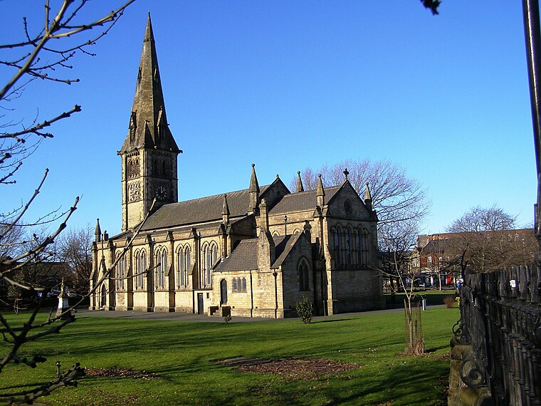
Photo: David Dixon, CC BY-SA 2.0.
Guide Bridge is an area west of Ashton-under-Lyne in Greater Manchester, England. Historically part of Lancashire, Guide Bridge was built as a village around an eponymous bridge over the Ashton Canal.
Taylor Lane Off Licence
- Type: Convenience store
- Categories: shop and food
- Location: Tameside, England, United Kingdom, Britain and Ireland, Europe
- View on OpenStreetMap
Latitude
53.45979° or 53° 27′ 35″ northLongitude
-2.12483° or 2° 7′ 29″ westOpen location code
9C5VFV5G+W3OpenStreetMap ID
node 5649619673OpenStreetMap feature
shop=convenience
This page is based on OpenStreetMap, Wikidata, and Wikimedia Commons.
We’d love your help improving our open data sources. Thank you for contributing.
Satellite Map
Discover Taylor Lane Off Licence from above in high-definition satellite imagery.
Notable Places Nearby
Highlights include Carmel Christian Centre and Denton Cricket Club.
Nearby Places
Explore places such as The Lunch Box and She Sparkles.
England: Must-Visit Destinations
Delve into London, Manchester, Sheffield, and Leeds.
Curious Convenience Stores to Discover
Uncover intriguing convenience stores from every corner of the globe.
About Mapcarta. Data © OpenStreetMap contributors and available under the Open Database License". Text is available under the CC BY-SA 4.0 license, except for photos, directions, and the map. Photo: Zboralski, CC0.