Seoul Market Cafe
Seoul Market Cafe is a café in City of Wyoming, Kent, Michigan which is located on 36th Street Southwest. Seoul Market Cafe is situated nearby to Lions Park, as well as near Hillcroft Park.| Tap on a place to explore it |
Places of Interest Nearby
Highlights include Lions Park and Hillcroft Park.


Places in the Area
Nearby places include Wyoming and Kentwood.
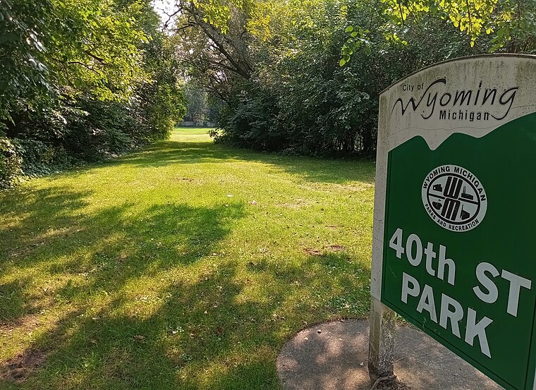
Wyoming
Wyoming is a city in Kent County in the U.S. state of Michigan. The population was 76,501 at the 2020 census. Wyoming is the second most-populated community in the Grand Rapids metropolitan area and is bordered by Grand Rapids on the northeast.Kentwood
Town
Photo: Wingerham52, CC BY-SA 4.0.
Kentwood is a city in Kent County in the U.S. state of Michigan. The population was 54,304 as of the 2020 census. The city is bordered on the northwest by Grand Rapids and is the third most-populated municipality in the Grand Rapids metropolitan area. Kentwood is situated 2½ miles southeast of Seoul Market Cafe.
Grandville
Town
 Grandville is a city in Kent County in the U.S. state of Michigan. The population was 16,083 according to the 2020 census. Grandville is just southwest of the city of Grand Rapids and is part of the Grand Rapids metropolitan area. Grandville is situated 4 miles west of Seoul Market Cafe.
Seoul Market Cafe
- Type: Café
- Address: 660 36th Street Southwest, Wyoming, MI 49509
- Location: City of Wyoming, Kent, Michigan, Midwest, United States, North America
- View on OpenStreetMap
Latitude
42.8986° or 42° 53′ 55″ northLongitude
-85.68143° or 85° 40′ 53″ westOpen location code
86JPV8X9+CCOpenStreetMap ID
node 5655147521OpenStreetMap feature
amenity=cafe
This page is based on OpenStreetMap, Wikidata, and Wikimedia Commons.
We’d love your help improving our open data sources. Thank you for contributing.
Satellite Map
Discover Seoul Market Cafe from above in high-definition satellite imagery.
Notable Places Nearby
Highlights include Resurrection Cemetery and Godwin Heights Softball Field.
Nearby Places
Explore places such as SKLD and AnchorPoint Christian School / West Michigan Lutheran High School.
Michigan: Must-Visit Destinations
Delve into Detroit, Ann Arbor, Lansing, and Grand Rapids.
Curious Cafés to Discover
Uncover intriguing cafés from every corner of the globe.
About Mapcarta. Data © OpenStreetMap contributors and available under the Open Database License". Text is available under the CC BY-SA 4.0 license, except for photos, directions, and the map. Photo: Wikimedia, CC0.