Mountsorrel Cross
The Mountsorrel Cross is a market cross that dates from the Middle Ages. It originally stood on Main Street in the village of Mountsorrel, Leicestershire, but was moved in the late 18th century to a position 250 metres south-east of St Leonard's Church, Swithland, where it still stands.| Tap on a place to explore it |
Photo: Wikimedia, CC BY-SA 2.0.
- Type: Memorial
- Description: structure in Swithland, Leicestershire, England; moved from Mountsorrel
- Also known as: “Market Cross”, “Mountsorrel Market Cross”, and “The Mountsorrel Cross C250 Metres South East Of Church”
Places of Interest Nearby
Highlights include Church of St Leonard and Swithland Hall.
Church of St Leonard
Church

Photo: Kev747, Public domain.
Church of St Leonard is situated 910 feet northwest of Mountsorrel Cross.
Swithland Hall
Building

Photo: Wikimedia, Public domain.
Swithland Hall is a 19th-century Neoclassical country house in Swithland, Leicestershire, designed by James Pennethorne. Swithland Hall is situated 1,000 feet east of Mountsorrel Cross.
Rothley railway station
Railway station

Photo: Ronstar308, CC BY-SA 3.0.
Rothley railway station is a heritage railway station on the preserved section of the Great Central Railway's London Extension. Built to the standard island platform pattern of country stations on the line, it originally opened on 15 March 1899 and has been restored to late Edwardian era condition, circa 1910. Rothley railway station is situated 4,200 feet east of Mountsorrel Cross.
Places in the Area
Nearby places include Cropston and Woodhouse Eaves.
Cropston
Village
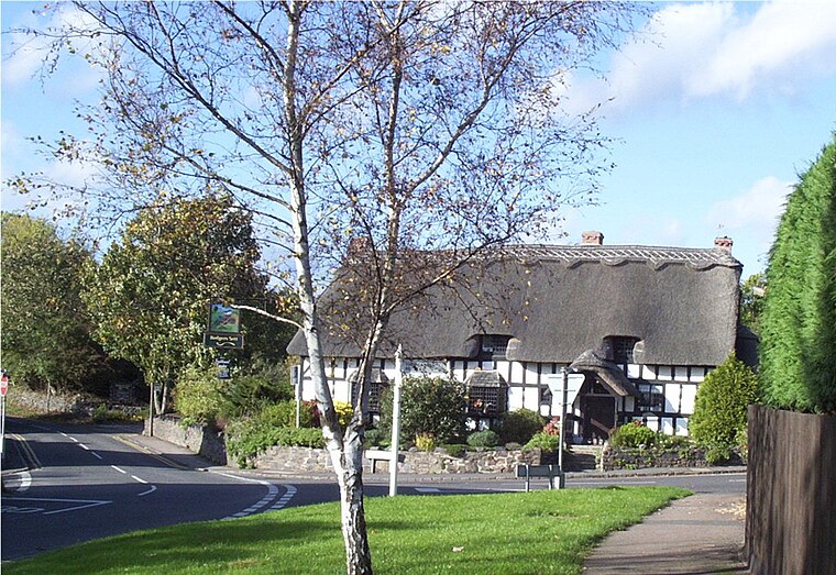
Photo: Kev747, Public domain.
Cropston is a village and former civil parish, now in the parish of Thurcaston and Cropston, part of the Borough of Charnwood in Leicestershire, England.
Woodhouse Eaves
Village
Woodhouse Eaves is a village in the Borough of Charnwood, Leicestershire, England. Nearby are the villages of Quorn, Swithland, and Newtown Linford. Breakback Road leads from the village to Nanpantan and Loughborough. Woodhouse Eaves is situated 2 miles northwest of Mountsorrel Cross.
Quorn
Village

Photo: Mat Fascione, CC BY-SA 2.0.
Quorn is a village and civil parish in Leicestershire, England, near the university town of Loughborough. Its name was shortened from Quorndon in 1889, to avoid postal difficulties owing to its similarity to the name of another village, Quarndon, in neighbouring Derbyshire. Quorn is situated 2½ miles north of Mountsorrel Cross.
Mountsorrel Cross
- Categories: market cross and historic site
- Location: Swithland, Charnwood District, Leicestershire, East Midlands, England, United Kingdom, Britain and Ireland, Europe
- View on OpenStreetMap
Latitude
52.70828° or 52° 42′ 30″ northLongitude
-1.17763° or 1° 10′ 39″ westOpen location code
9C4WPR5C+8WOpenStreetMap ID
node 5663760621OpenStreetMap feature
historic=memorialWikidata ID
Q15260098
This page is based on OpenStreetMap, Wikidata, Wikimedia Commons, and Wikipedia.
We’d love your help improving our open data sources. Thank you for contributing.
Satellite Map
Discover Mountsorrel Cross from above in high-definition satellite imagery.
Notable Places Nearby
Highlights include The Rough and Crow Wood.
Nearby Places
Explore places such as Swithland Spring Water and The Griffin Inn.
Leicestershire: Must-Visit Destinations
Delve into Leicester, Loughborough, Hinckley, and Melton Mowbray.
Curious Memorials to Discover
Uncover intriguing memorials from every corner of the globe.
About Mapcarta. Data © OpenStreetMap contributors and available under the Open Database License". Text is available under the CC BY-SA 4.0 license, except for photos, directions, and the map. Description text is based on the Wikipedia page “Mountsorrel Cross”. Photo: Wikimedia, CC BY-SA 2.0.