Lodge Farm
Lodge Farm is a farm in Brenchley, Tunbridge Wells District, England. Lodge Farm is situated nearby to the church St Luke, as well as near the community center Matfield Village Hall.| Tap on a place to explore it |
Places of Interest Nearby
Highlights include Matfield House and The Star Public House.
Matfield House

Photo: David Kemp, CC BY-SA 2.0.
Matfield House is a Grade I listed Georgian house in the village of Matfield, Kent, England. The house was built in 1728 in the Queen Anne style for Thomas Marchant, a yeoman farmer from Horsmonden and his heiress wife Mary. Matfield House is situated 3,300 feet northeast of Lodge Farm.
The Star Public House
Pub

Photo: Nigel Chadwick, CC BY-SA 2.0.
The Star Public House is situated 3,500 feet northeast of Lodge Farm.
Upper Church of St Peter
Church

Photo: The Voice of Hassocks, Public domain.
Upper Church of St Peter is situated 1½ miles west of Lodge Farm.
Places in the Area
Nearby places include Matfield and Pembury.
Matfield
Village
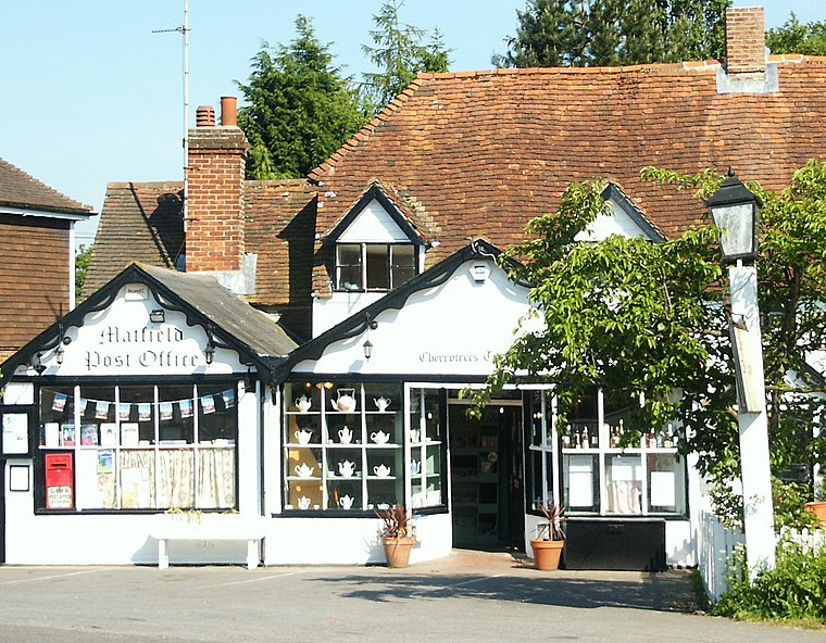
Photo: Wikimedia, Public domain.
Matfield is a small village, part of the civil parish of Brenchley and Matfield, in the Tunbridge Wells borough of Kent, England. Matfield was awarded the title of Kent Village of the Year in 2010.
Pembury
Village
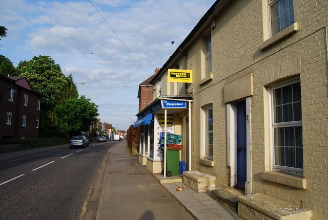
Photo: Nigel Chadwick, CC BY-SA 2.0.
Pembury is a large village in Kent, in the south east of England, with a population of 6,128 at the 2011 census. It lies just to the north-east of Royal Tunbridge Wells. Pembury is situated 1½ miles west of Lodge Farm.
Capel
Village
Capel is a hamlet and civil parish in the borough of Tunbridge Wells in Kent, England. The parish is located on the north of the Weald, 3 miles to the east of Tonbridge. Capel is situated 2 miles north of Lodge Farm.
Lodge Farm
- Type: Farm
- Categories: locality and agriculture
- Location: Brenchley, Tunbridge Wells District, Kent, South East England, England, United Kingdom, Britain and Ireland, Europe
- View on OpenStreetMap
Latitude
51.14591° or 51° 8′ 45″ northLongitude
0.3599° or 0° 21′ 36″ eastOpen location code
9F3249W5+9XOpenStreetMap ID
node 5678318114OpenStreetMap feature
place=farm
This page is based on OpenStreetMap, Wikidata, and Wikimedia Commons.
We’d love your help improving our open data sources. Thank you for contributing.
Satellite Map
Discover Lodge Farm from above in high-definition satellite imagery.
Places with the Same Name
Discover other places named “Lodge Farm”.
Notable Places Nearby
Highlights include Lodge Farm Cross Country Course and St Luke.
Nearby Places
Explore places such as Public Footpath and Public Footpath.
Kent: Must-Visit Destinations
Delve into Canterbury, Dover, Maidstone, and Rochester.
Curious Farms to Discover
Uncover intriguing farms from every corner of the globe.
About Mapcarta. Data © OpenStreetMap contributors and available under the Open Database License". Text is available under the CC BY-SA 4.0 license, except for photos, directions, and the map. Photo: Diliff, CC BY-SA 3.0.