Ussolière
Ussolière is a hamlet in Usseau, Arrondissement of Niort, Nouvelle-Aquitaine. Ussolière is situated nearby to the hamlet Beaulieu, as well as near La Chape.| Tap on a place to explore it |
Places of Interest
Highlights include Église Saint-Pierre d’Usseau and Castle of Olbreuse.
Église Saint-Pierre d’Usseau
Church

Photo: Symac, CC BY-SA 3.0.
Église Saint-Pierre d’Usseau is a church.
Castle of Olbreuse
Castle
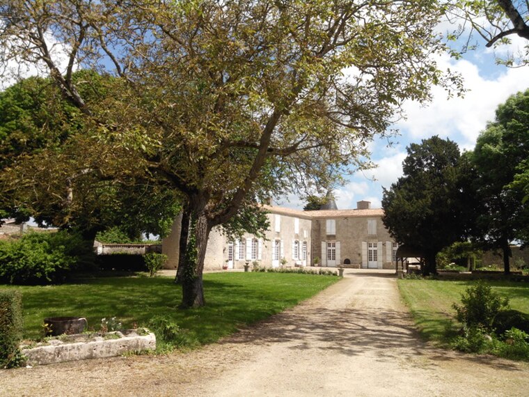
Photo: Pegase44, CC BY-SA 4.0.
The Castle of Olbreuse is situated in Usseau, Deux-Sèvres, in western France. It is thought to have been built in the eleventh century but documentation for this supposition is lacking. Castle of Olbreuse is situated 4 km northwest of Ussolière.
Église Notre-Dame-de-l’Assomption de Dœuil-sur-le-Mignon
Church

Photo: KiwiNeko14, CC BY-SA 4.0.
Église Notre-Dame-de-l’Assomption de Dœuil-sur-le-Mignon is a church, which is situated 4 km south of Ussolière.
Places in the Area
Nearby places include Prissé-la-Charrière and Beauvoir-sur-Niort.
Prissé-la-Charrière
Village

Photo: Milou262H, CC BY-SA 4.0.
Prissé-la-Charrière is a former commune in the Deux-Sèvres department in western France. On 1 January 2018, it was merged into the new commune of Plaine-d'Argenson. Prissé-la-Charrière is situated 6 km east of Ussolière.
Beauvoir-sur-Niort
Village

Photo: Quoique, CC BY-SA 4.0.
Beauvoir-sur-Niort is a commune in the Deux-Sèvres department, Nouvelle-Aquitaine, western France. Beauvoir-sur-Niort is situated 7 km east of Ussolière.
Saint-Étienne-la-Cigogne
Village

Photo: Pegase44, CC BY-SA 4.0.
Saint-Étienne-la-Cigogne is a former commune in the Deux-Sèvres department in western France. On 1 January 2018, it was merged into the new commune of Plaine-d'Argenson. Saint-Étienne-la-Cigogne is situated 7 km southeast of Ussolière.
Ussolière
- Type: Hamlet
- Category: locality
- Location: Usseau, Arrondissement of Niort, Deux-Sèvres, Nouvelle-Aquitaine, France, Europe
- View on OpenStreetMap
Latitude
46.16374° or 46° 9′ 50″ northLongitude
-0.55966° or 0° 33′ 35″ westOpen location code
8CRX5C7R+F4OpenStreetMap ID
node 5690555250OpenStreetMap feature
place=hamlet
This page is based on OpenStreetMap, Wikidata, and Wikimedia Commons.
We’d love your help improving our open data sources. Thank you for contributing.
Satellite Map
Discover Ussolière from above in high-definition satellite imagery.
Localities in the Area
Explore places such as Beaulieu and La Chape.
Notable Places Nearby
Highlights include Bois des Loges and Mairie.
Curious Hamlets to Discover
Uncover intriguing hamlets from every corner of the globe.
About Mapcarta. Data © OpenStreetMap contributors and available under the Open Database License". Text is available under the CC BY-SA 4.0 license, except for photos, directions, and the map. Photo: Père Igor, CC BY-SA 3.0.