Παπαδημήτριον
Παπαδημήτριον is a convenience store in Zitsa, Ioannina, Epirus. Παπαδημήτριον is situated nearby to the government office ΚΕΠ ΠΑΣΣΑΡΩΝΟΣ, as well as near the town Eleousa.| Tap on a place to explore it |
Places of Interest Nearby
Highlights include Ioannina National Airport.
Ioannina National Airport
Aerodrome

Photo: Mboesch, CC BY-SA 4.0.
Ioannina Νational Airport is an airport located four kilometers from the city center of Ioannina, Greece. Its full name is Ioannina Νational Airport – King Pyrrhus. Ioannina National Airport is situated 3 km east of Παπαδημήτριον.
Places in the Area
Nearby places include Eleousa and Perama.
Eleousa
Town
Eleousa is a village in the municipal unit of Pasaronas, Ioannina regional unit, Greece. Since the 2010 local government reform, it is the seat of the municipality Zitsa.
Perama
Town
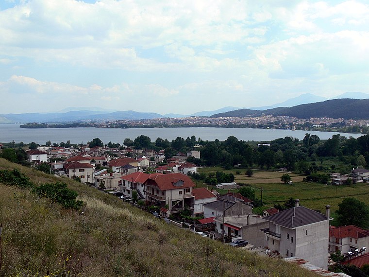
Photo: Fingalo, CC BY-SA 2.0 de.
Perama is a town, which is situated 5 km east of Παπαδημήτριον.
Ioannina

Photo: Philos2000, CC BY-SA 3.0.
Ioannina is a beautiful city in Northern Greece whose old town is surrounded by tall defensive walls.
Παπαδημήτριον
- Type: Convenience store
- Categories: shop and food
- Location: Zitsa, Ioannina, Epirus, Northern Greece, Greece, Balkans, Europe
- View on OpenStreetMap
Latitude
39.69229° or 39° 41′ 32″ northLongitude
20.78549° or 20° 47′ 8″ eastOpen location code
8GF2MQRP+W5OpenStreetMap ID
node 5693425425OpenStreetMap feature
shop=convenience
This page is based on OpenStreetMap, Wikidata, and Wikimedia Commons.
We’d love your help improving our open data sources. Thank you for contributing.
Satellite Map
Discover Παπαδημήτριον from above in high-definition satellite imagery.
Notable Places Nearby
Highlights include ΚΕΠ ΠΑΣΣΑΡΩΝΟΣ and Δημαρχείο Ζίτσας.
Nearby Places
Explore places such as Αργυρη Κριστινα School of English and AEGEAN.
Epirus: Must-Visit Destinations
Delve into Ioannina, Acheron Gorge, Arta, and Preveza.
Curious Convenience Stores to Discover
Uncover intriguing convenience stores from every corner of the globe.
About Mapcarta. Data © OpenStreetMap contributors and available under the Open Database License". Text is available under the CC BY-SA 4.0 license, except for photos, directions, and the map. Photo: Fingalo, CC BY-SA 2.0 de.