Sarnies
Sarnies is a fast food restaurant in Coventry, England. Sarnies is situated nearby to Westhill Road Post Office, as well as near the church Christ The King.| Tap on a place to explore it |
- Type: Fast food restaurant
- Cuisine: sandwich
- Address: Coundon, Coventry
Places of Interest Nearby
Highlights include St George’s Church and St Nicholas’ Church, Radford, Coventry.
St George’s Church
Church

Photo: Keith Williams, CC BY-SA 2.0.
St George’s Church is situated 2,000 feet southeast of Sarnies.
St Nicholas’ Church, Radford, Coventry
Church

Photo: Snowmanradio, CC BY-SA 4.0.
St Nicholas' Church is a parish church in the Church of England in Radford, Coventry. The original church of 1874 was destroyed in the Coventry Blitz in November 1940 and a replacement church was built between 1954 and 1955. St Nicholas’ Church, Radford, Coventry is situated 2,700 feet east of Sarnies.
Belgrade Theatre
Theater building

Photo: Herry Lawford, CC BY 2.0.
The Belgrade Theatre is a live performance venue in Coventry, England. It was the first civic theatre to be built in Britain after the Second World War and is now a Grade II listed building. Belgrade Theatre is situated 1¼ miles southeast of Sarnies.
Places in the Area
Nearby places include Coundon and Chapelfields.
Coundon
Suburb

Photo: Ian Rob, CC BY-SA 2.0.
Coundon is a predominantly residential suburb in north-west Coventry, in the county of the West Midlands, England. Along with the neighbouring Keresley, Coundon was originally a village in the Warwickshire countryside.
Chapelfields
Suburb
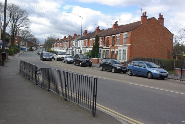
Photo: Keith Williams, CC BY-SA 2.0.
Chapelfields is a suburb of Coventry, West Midlands, England. It is situated about 1.5 miles to the west of Coventry City Centre; bordering Coundon to the north, Earlsdon to the south, Spon End to the east and Whoberley to the west.
Radford
Suburb

Photo: Niki Walton, CC BY-SA 2.0.
Radford is a suburb and electoral ward of Coventry, located approximately 1.5 miles north of Coventry city centre. It is covered by the Coventry North West constituency.
Sarnies
- Categories: food and restaurant
- Location: Coventry, England, United Kingdom, Britain and Ireland, Europe
- View on OpenStreetMap
Latitude
52.42173° or 52° 25′ 18″ northLongitude
-1.53525° or 1° 32′ 7″ westOpen location code
9C4WCFC7+MVOpenStreetMap ID
node 5760809050OpenStreetMap feature
amenity=fast_foodOpenStreetMap attribute
cuisine=sandwich
This page is based on OpenStreetMap, Wikidata, and Wikimedia Commons.
We’d love your help improving our open data sources. Thank you for contributing.
Satellite Map
Discover Sarnies from above in high-definition satellite imagery.
Places with the Same Name
Discover other places named “Sarnies”.
Notable Places Nearby
Highlights include Westhill Road Post Office and Christ The King.
Nearby Places
Explore places such as Westhill Rd / Courtland Avenue and Courtland Ave / Westhill Rd.
England: Must-Visit Destinations
Delve into London, Manchester, Sheffield, and Leeds.
Curious Fast Food Restaurants to Discover
Uncover intriguing fast food restaurants from every corner of the globe.
About Mapcarta. Data © OpenStreetMap contributors and available under the Open Database License". Text is available under the CC BY-SA 4.0 license, except for photos, directions, and the map. Photo: Mintchocicecream, CC0.