Ay-Tat
Ay-Tat is a supermarket in Ransbach-Baumbach, Westerwaldkreis, Rhineland-Palatinate. Ay-Tat is situated nearby to the town hall Verbandsgemeindeverwaltung Ransbach-Baumbach, as well as near the government building Rathaus.| Tap on a place to explore it |
Places of Interest Nearby
Highlights include St. Markus and Felsengruppe Bühl.
St. Markus
Church
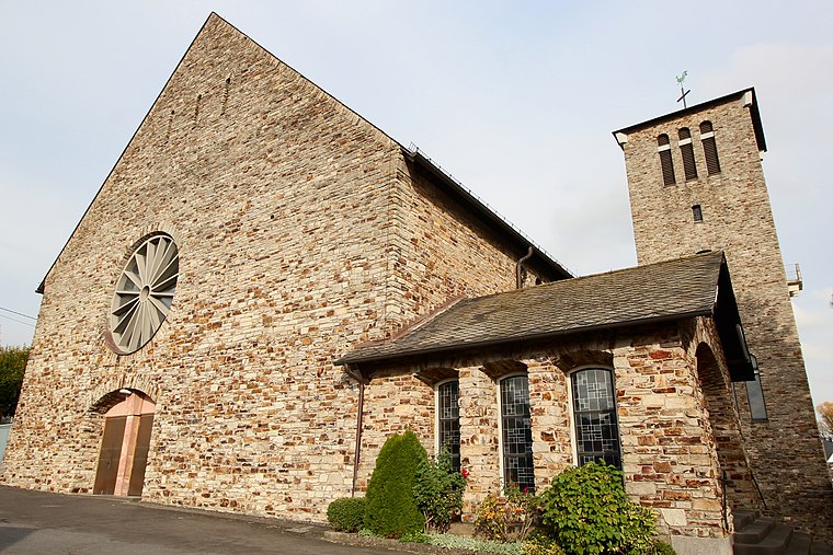
Photo: LigaDue, CC BY-SA 4.0.
St. Markus is a church, which is situated 190 metres east of Ay-Tat.
Felsengruppe Bühl
Protected area

Photo: LigaDue, CC BY-SA 4.0.
Felsengruppe Bühl is a protected area, which is situated 3 km southwest of Ay-Tat.
Evangelische Kirche
Church
 Evangelische Kirche is a church, which is situated 3½ km northeast of Ay-Tat.
Places in the Area
Nearby places include Hundsdorf and Ebernhahn.
Hundsdorf
Village

Photo: Wolkenkratzer, CC BY-SA 4.0.
Hundsdorf is an Ortsgemeinde – a community belonging to a Verbandsgemeinde – in the Westerwaldkreis in Rhineland-Palatinate, Germany.
Ebernhahn
Village

Photo: LigaDue, CC BY-SA 4.0.
Ebernhahn is an Ortsgemeinde – a municipality belonging to a Verbandsgemeinde – in the Westerwaldkreis in Rhineland-Palatinate, Germany. Ebernhahn is situated 3 km east of Ay-Tat.
Hilgert
Village

Photo: LigaDue, CC BY-SA 4.0.
Hilgert in the Kannenbäckerland is an Ortsgemeinde – a community belonging to a Verbandsgemeinde – in the Westerwaldkreis in Rhineland-Palatinate, Germany. Hilgert is situated 3 km southwest of Ay-Tat.
Ay-Tat
- Type: Supermarket
- Categories: shop and food
- Location: Ransbach-Baumbach, Westerwaldkreis, Rhineland-Palatinate, Germany, Central Europe, Europe
- View on OpenStreetMap
Latitude
50.46849° or 50° 28′ 7″ northLongitude
7.72857° or 7° 43′ 43″ eastOpen location code
9F29FP9H+9COpenStreetMap ID
node 5799833077OpenStreetMap feature
shop=supermarket
This page is based on OpenStreetMap, Wikidata, and Wikimedia Commons.
We’d love your help improving our open data sources. Thank you for contributing.
Satellite Map
Discover Ay-Tat from above in high-definition satellite imagery.
Places with the Same Name
Discover other places named “Ay-Tat”.
Notable Places Nearby
Highlights include Verbandsgemeindeverwaltung Ransbach-Baumbach and Rathaus.
Nearby Places
Explore places such as Pizza Blitz and Römerterrasse.
Rhineland-Palatinate: Must-Visit Destinations
Delve into Mainz, Trier, Koblenz, and Worms.
Curious Supermarkets to Discover
Uncover intriguing supermarkets from every corner of the globe.
About Mapcarta. Data © OpenStreetMap contributors and available under the Open Database License". Text is available under the CC BY-SA 4.0 license, except for photos, directions, and the map. Photo: Traveler100, CC BY-SA 3.0.