Clifton Moor
Clifton Moor is a suburb in Rawcliffe, York, England. Clifton Moor is situated nearby to the locality Rawcliffe Moor, as well as near the suburb Clifton Without.| Tap on a place to explore it |
Places of Interest
Highlights include York Minster and The Folk Hall.
York Minster
Church
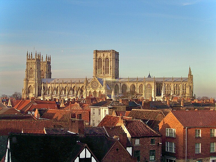
Photo: MatzeTrier, CC BY-SA 3.0.
York Minster, formally the Cathedral and Metropolitical Church of Saint Peter in York, is an Anglican cathedral in the city of York, North Yorkshire, England. York Minster is situated 2 miles south of Clifton Moor.

Yorkshire Museum
Museum
 The Yorkshire Museum is a museum in York, England. It was opened in 1830, and has five permanent collections, covering biology, geology, archaeology, numismatics and astronomy. Yorkshire Museum is situated 2 miles south of Clifton Moor.
Places in the Area
Nearby places include Clifton Without and New Earswick.
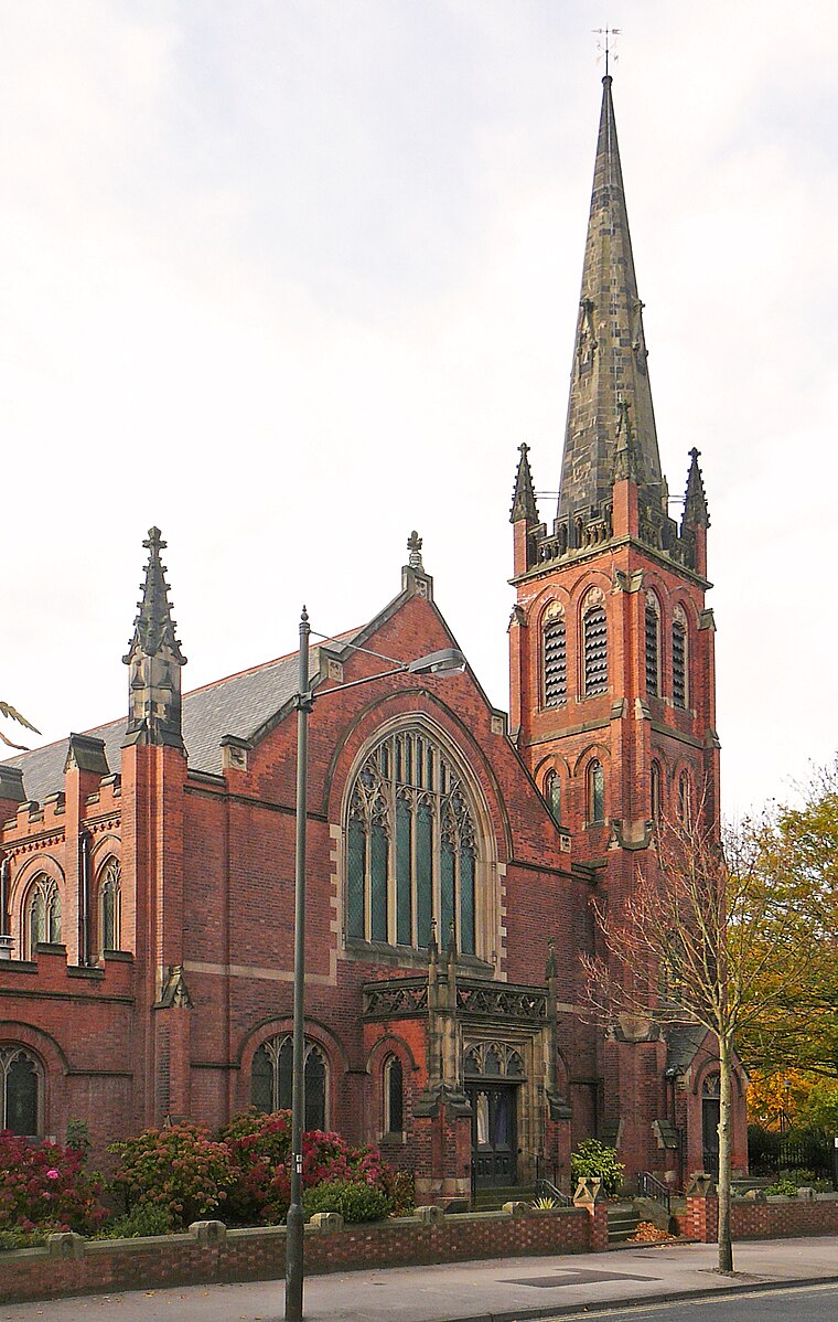
Clifton Without
Suburb

Photo: DS Pugh, CC BY-SA 2.0.
Clifton Without is a suburb and civil parish in the unitary authority area of the City of York, North Yorkshire, England. It consists of those parts of Clifton that lie outside, i.e.
New Earswick
Village

Photo: Duncan Grey, CC BY-SA 2.0.
New Earswick is a model village and civil parish in the unitary authority of City of York in North Yorkshire, England, near the River Foss, north of York and south of Haxby.
Clifton
Suburb
 Clifton is a suburb of York in the unitary authority area of the City of York, in North Yorkshire, England about 1+1⁄2 miles from the city centre. The A19, passes north out of York through Clifton.
Clifton Moor
- Type: Suburb
- Category: locality
- Location: Rawcliffe, York, England, United Kingdom, Britain and Ireland, Europe
- View on OpenStreetMap
Latitude
53.99083° or 53° 59′ 27″ northLongitude
-1.0989° or 1° 5′ 56″ westOpen location code
9C5WXWR2+8COpenStreetMap ID
node 5830346061OpenStreetMap feature
place=suburb
This page is based on OpenStreetMap, Wikidata, and Wikimedia Commons.
We’d love your help improving our open data sources. Thank you for contributing.
Satellite Map
Discover Clifton Moor from above in high-definition satellite imagery.
Places with the Same Name
Discover other places named “Clifton Moor”.
Localities in the Area
Explore places such as Rawcliffe Moor and Brecks Field.
Notable Places Nearby
Highlights include 24/7 Fitness and Freek Lime.
England: Must-Visit Destinations
Delve into London, Manchester, Sheffield, and Leeds.
Curious Suburbs to Discover
Uncover intriguing suburbs from every corner of the globe.
About Mapcarta. Data © OpenStreetMap contributors and available under the Open Database License". Text is available under the CC BY-SA 4.0 license, except for photos, directions, and the map. Photo: sidibousaid, CC BY 2.0.