Kirkdale Convenience Store
Kirkdale Convenience Store is a convenience store in Lewisham, Greater London, England which is located on Kirkdale. Kirkdale Convenience Store is situated nearby to the health club PureGym, as well as near the square Cobb’s Corner.| Tap on a place to explore it |
- Opening hours: 7:00 AM—4:30 PM
- Type: Convenience store
- Address: G, 297 Kirkdale, Sydenham, London, SE26 4QD
- Wheelchair access: limited
Places of Interest Nearby
Highlights include Sydenham railway station and Church of St Bartholomew.
Sydenham railway station
Railway station

Photo: Sunil060902, CC BY-SA 3.0.
Sydenham is an interchange station between the Windrush line of the London Overground and National Rail services operated by Southern, located in Sydenham in the London Borough of Lewisham. Sydenham railway station is situated 440 feet east of Kirkdale Convenience Store.
Church of St Bartholomew
Church

Photo: Stephen Craven, CC BY-SA 2.0.
Church of St Bartholomew is situated 480 feet west of Kirkdale Convenience Store.
Mayow Park
Park

Photo: Stephen Craven, CC BY-SA 2.0.
Mayow Park, formerly known as Sydenham Recreation Ground, is a municipal park in London Borough of Lewisham. Located on Mayow Road in Sydenham, south east London, it is the borough's oldest park and its second oldest public open space after Blackheath. Mayow Park is situated 1,800 feet northeast of Kirkdale Convenience Store.
Places in the Area
Nearby places include Sydenham and Perry Vale.
Sydenham
Town
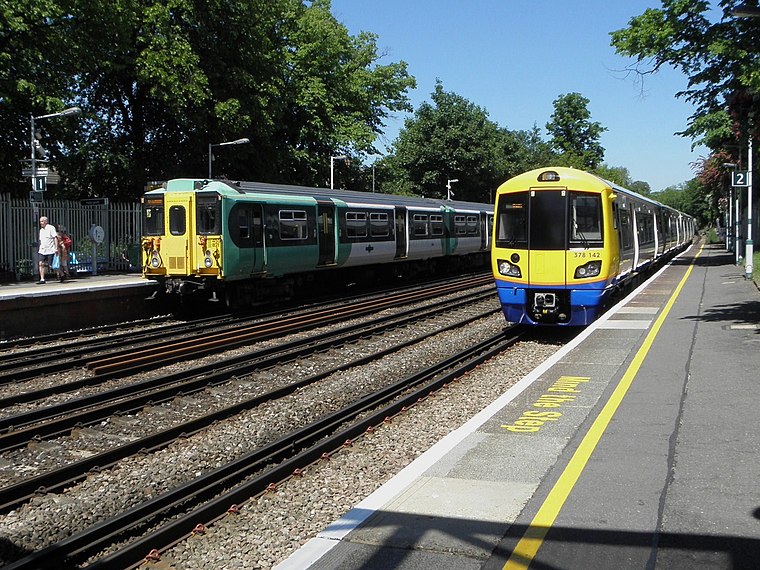
Photo: Sunil060902, CC BY-SA 3.0.
Sydenham is a district of south-east London, England, which is shared between the London boroughs of Lewisham, Bromley and Southwark. Prior to the creation of the County of London in 1889, Sydenham was located in Kent, bordering Surrey.
Perry Vale
Suburb
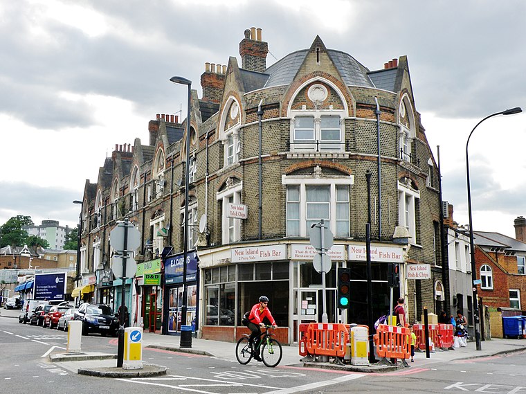
Photo: alvaro errandonea, CC BY 3.0.
Perry Vale is a neighbourhood and electoral ward in the London Borough of Lewisham. It is 10.5 km southeast of Charing Cross and located near Forest Hill to the east of Forest Hill railway station, where the railway line forms the western boundary.
Forest Hill
Suburb
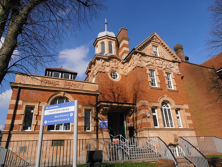
Photo: Love Art Nouveau, CC BY 2.0.
Forest Hill is a district of the London Borough of Lewisham in south east London, England, on the South Circular Road, which is home to the Horniman Museum.
Kirkdale Convenience Store
- Categories: shop and food
- Location: Lewisham, Greater London, England, United Kingdom, Britain and Ireland, Europe
- View on OpenStreetMap
Latitude
51.42746° or 51° 25′ 39″ northLongitude
-0.05612° or 0° 3′ 22″ westBrand
NisaOpen location code
9C3XCWGV+XHOpenStreetMap ID
node 5842605571OpenStreetMap feature
shop=convenienceOpenStreetMap attribute
wheelchair=limited
This page is based on OpenStreetMap, Wikidata, and Wikimedia Commons.
We’d love your help improving our open data sources. Thank you for contributing.
Satellite Map
Discover Kirkdale Convenience Store from above in high-definition satellite imagery.
Notable Places Nearby
Highlights include PureGym and Cobb’s Corner.
Nearby Places
Explore places such as Mama Dough and Sydenham Station / Kirkdale.
England: Must-Visit Destinations
Delve into London, Manchester, Sheffield, and Leeds.
Curious Convenience Stores to Discover
Uncover intriguing convenience stores from every corner of the globe.
About Mapcarta. Data © OpenStreetMap contributors and available under the Open Database License". Text is available under the CC BY-SA 4.0 license, except for photos, directions, and the map. Photo: sidibousaid, CC BY 2.0.