Trondheimsklinkken
Trondheimsklinkken is a hospital in Trondheim, Trøndelag. Trondheimsklinkken is situated nearby to the public building Klostergata 46/48, as well as near Klosterbakken.| Tap on a place to explore it |
Places of Interest Nearby
Highlights include Nidaros Cathedral and St. Olavs hospital.
Nidaros Cathedral
Church
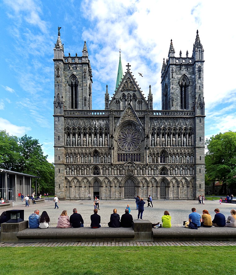
Photo: Holger Uwe Schmitt, CC BY-SA 4.0.
Nidaros Cathedral is a Church of Norway cathedral located in the city of Trondheim in Trøndelag county. It is built over the burial site of King Olav II, who became the patron saint of the nation, and is the traditional location for the consecration of new Norwegian monarchs. Nidaros Cathedral is situated 540 metres northeast of Trondheimsklinkken.
St. Olavs hospital
Hospital

Photo: Ezzex, CC BY-SA 4.0.
St. Olav's University Hospital is the hospital in Trondheim, Norway located at Øya. It is part of St. Olavs Hospital Trust that operates all the hospitals in Sør-Trøndelag and thus indirectly state owned. St. Olavs hospital is situated 390 metres southwest of Trondheimsklinkken.
Jesu Kristi Kirke af Sidste Dages Hellige
Church

Photo: Beagle84, CC BY-SA 3.0.
Jesu Kristi Kirke af Sidste Dages Hellige is a church, which is situated 140 metres southeast of Trondheimsklinkken.
Places in the Area
Nearby places include Øya and Kalvskinnet.
Øya
Suburb
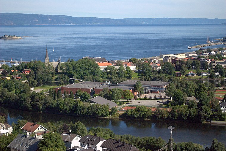
Photo: Beagle84, CC BY-SA 3.0.
Øya is a neighborhood in the city of Trondheim in Trøndelag county, Norway. It is situated the borough of Midtbyen in Trondheim Municipality, just east of Elgeseter.
Kalvskinnet
Quarter
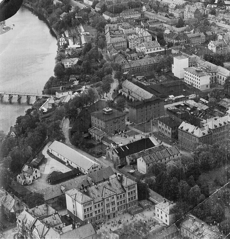
Photo: Municipal Archives of Trondheim, CC BY 2.0.
Kalvskinnet is a neighborhood in the city of Trondheim in Trøndelag county, Norway. It is situated southwest of the city centre in the borough of Midtbyen in Trondheim Municipality, bordering the river Nidelva in the south.
Gløshaugen
Neighborhood

Photo: Wikimedia, CC BY-SA 3.0.
Gløshaugen is a neighborhood in the city of Trondheim in Trøndelag county, Norway. It is located in the borough of Lerkendal, approximately 2 kilometres southeast of Midtbyen in Trondheim Municipality, the downtown center of Trondheim.
Trondheimsklinkken
- Type: Hospital
- Category: health care
- Location: Trondheim, Trøndelag, Norway, Nordic countries, Europe
- View on OpenStreetMap
Latitude
63.42319° or 63° 25′ 24″ northLongitude
10.38991° or 10° 23′ 24″ eastOpen location code
9FMGC9FQ+7XOpenStreetMap ID
node 5844596585OpenStreetMap feature
amenity=hospitalOpenStreetMap feature
healthcare=hospital
This page is based on OpenStreetMap, Wikidata, and Wikimedia Commons.
We’d love your help improving our open data sources. Thank you for contributing.
Satellite Map
Discover Trondheimsklinkken from above in high-definition satellite imagery.
Notable Places Nearby
Highlights include Klostergata 46/48 and Klosterbakken.
Nearby Places
Explore places such as Coop Prix Øya and Klostergata 56.
Trøndelag: Must-Visit Destinations
Delve into Røros, Namsos, Oppdal, and Stjørdalshalsen.
Curious Places to Discover
Uncover intriguing places from every corner of the globe.
About Mapcarta. Data © OpenStreetMap contributors and available under the Open Database License". Text is available under the CC BY-SA 4.0 license, except for photos, directions, and the map. Photo: Wikimedia, CC0.