Meineke Hill
Meineke Hill is a hill in Cook, Illinois. Meineke Hill is situated nearby to the neighborhood Valley in the Park, as well as near Arbor Glen.| Tap on a place to explore it |
Places of Interest
Highlights include Schaumburg Township District Library and Schaumburg Regional Airport.
Schaumburg Township District Library
Library
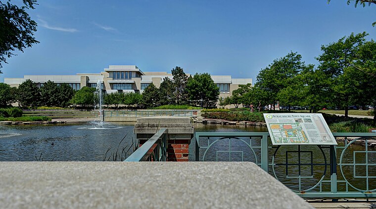
Photo: bogdanstepniak, CC BY 3.0.
The Schaumburg Township District Library, located in Schaumburg, Illinois, is the second largest public library in Illinois. It serves the Schaumburg Township area, covering sections of Schaumburg, Hoffman Estates, Hanover Park, Roselle, and Elk Grove Village.
Schaumburg Regional Airport
Aerodrome

Photo: Wikimedia, CC BY-SA 2.0.
Schaumburg Regional Airport is a public use airport located 22 nautical miles northwest of Chicago in the village of Schaumburg in Cook and DuPage counties, Illinois, United States.
James B. Conant High School
School
James B. Conant High School is a public four-year high school located in Hoffman Estates, Illinois, a northwest suburb of Chicago, Illinois, in the United States.
Places in the Area
Nearby places include Schaumburg and Roselle.
Schaumburg

Photo: Michael Boyd, CC BY 3.0.
Schaumburg is a city in Chicagoland, best known for its ever popular Woodfield Mall, the largest mall in Illinois. Its name is derived from a place in Germany.
Roselle

Photo: Wikimedia, Public domain.
Roselle is a suburb of Chicago and is a village located in both DuPage County and Cook in Illinois. Roselle was first incorporated in 1922 as a bedroom community, with its train stop attracting residents commuting to Chicago or nearby suburbs for their jobs.
Medinah

Photo: Mpen320, CC BY-SA 4.0.
Medinah is an unincorporated community in the state of Illinois and is a northwest suburb of Chicago, located in DuPage County. It is neighbored by the three villages of Roselle, Itasca, and Bloomingdale along old Chicago–Galena highway between Route 19 and 20.
Meineke Hill
- Type: Hill
- Category: landform
- Location: Cook, Illinois, Midwest, United States, North America
- View on OpenStreetMap
Latitude
42.0194° or 42° 1′ 10″ northLongitude
-88.075° or 88° 4′ 30″ westOpen location code
86JH2W9F+QXOpenStreetMap ID
node 5916592368OpenStreetMap feature
natural=hill
This page is based on OpenStreetMap, Wikidata, and Wikimedia Commons.
We’d love your help improving our open data sources. Thank you for contributing.
Satellite Map
Discover Meineke Hill from above in high-definition satellite imagery.
Localities in the Area
Explore places such as Valley in the Park and Arbor Glen.
Notable Places Nearby
Highlights include Meineke Park and Meineke Recreation Center.
Illinois: Must-Visit Destinations
Delve into Chicago, Springfield, Rockford, and Loop.
Curious Hills to Discover
Uncover intriguing hills from every corner of the globe.
About Mapcarta. Data © OpenStreetMap contributors and available under the Open Database License". Text is available under the CC BY-SA 4.0 license, except for photos, directions, and the map. Photo: Rastapopulous, CC BY-SA 3.0.