Food Carnival
Food Carnival is a fast food restaurant in City of Detroit, Wayne County, Michigan which is located on Griswold Street. Food Carnival is situated nearby to Penobscot Building, as well as near Chrysler House.| Tap on a place to explore it |
- Type: Fast food restaurant
- Cuisine: Mexican
- Address: 645 Griswold Street, Detroit, MI 48226
Places of Interest Nearby
Highlights include Guardian Building and Campus Martius Park.
Guardian Building

Photo: Mikerussell, CC BY-SA 3.0.
Guardian Building is a landmark 43-story office skyscraper in the Financial District of downtown Detroit, Michigan. Built from 1928 to 1929, the building was originally called the Union Trust Building and is a bold example of Art Deco architecture, including art moderne designs. Guardian Building is situated 510 feet southeast of Food Carnival.
Campus Martius Park
Park
 Campus Martius Park is a re-established park in Downtown Detroit, Michigan. After the Great Fire of 1805, Campus Martius was the focal point of Judge Augustus Woodward's plans to rebuild the city. Campus Martius Park is situated 460 feet northeast of Food Carnival.
Penobscot Building
 The Greater Penobscot Building, commonly known as the Penobscot Building, is a class-A office tower in Downtown Detroit, Michigan. Constructed in 1928, the Art Deco building is located in the heart of the Detroit Financial District.
Places in the Area
Nearby places include Downtown Detroit and Detroit.
Downtown Detroit

Photo: Mikerussell, CC BY-SA 3.0.
Downtown Detroit is the central business district of Detroit, bordered by the Lodge Freeway to the west, the Fisher Freeway to the north, Interstate 375 to the east, and the Detroit River to the south.
Detroit

Photo: petermartorano, CC BY 2.0.
Detroit is a major metropolis in the US state of Michigan that has had a profound impact on the world. From the advent of the automotive assembly line to the Motown sound, modern techno and rock music, Detroit continues to shape both American and global culture.
Lafayette Park
Neighborhood
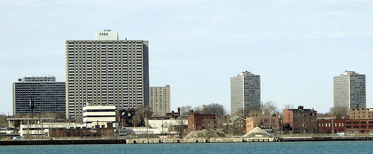
Photo: Mikerussell, CC BY-SA 3.0.
Lafayette Park is a neighborhood located east of Downtown Detroit. It contains a residential area of some 4,900 people and covers 0.37 sq mi. The northern section, planned and partially built in the 1950s by Ludwig Mies van der Rohe, is listed in the National Register of Historic Places; it was designated a National Historic Landmark District in 2015.
Food Carnival
- Categories: food and restaurant
- Location: City of Detroit, Wayne County, Michigan, Midwest, United States, North America
- View on OpenStreetMap
Latitude
42.33049° or 42° 19′ 50″ northLongitude
-83.04749° or 83° 2′ 51″ westOpen location code
86JR8XJ3+52OpenStreetMap ID
node 5964152786OpenStreetMap feature
amenity=fast_foodOpenStreetMap attribute
cuisine=mexican
This page is based on OpenStreetMap, Wikidata, and Wikimedia Commons.
We’d love your help improving our open data sources. Thank you for contributing.
Satellite Map
Discover Food Carnival from above in high-definition satellite imagery.
Places with the Same Name
Discover other places named “Food Carnival”.
Notable Places Nearby
Highlights include Chrysler House and Central Michigan.
Nearby Places
Explore places such as Comerica Bank and Penobscot Building.
Wayne County: Must-Visit Destinations
Delve into Detroit, Dearborn, Downtown Detroit, and Livonia.
Curious Fast Food Restaurants to Discover
Uncover intriguing fast food restaurants from every corner of the globe.
About Mapcarta. Data © OpenStreetMap contributors and available under the Open Database License". Text is available under the CC BY-SA 4.0 license, except for photos, directions, and the map. Photo: Wikimedia, CC0.