Volksschule Nußdorf ob der Traisen
Volksschule Nußdorf ob der Traisen is a school in Nußdorf ob der Traisen, St. Pölten District, Lower Austria which is located on Schulgasse. Volksschule Nußdorf ob der Traisen is situated nearby to the square Kirchenplatz, as well as near the church Pfarrkirche.| Tap on a place to explore it |
Places of Interest Nearby
Highlights include Urzeitmuseum Nußdorf ob der Traisen and Ortskapelle Wagram ob der Traisen.
Urzeitmuseum Nußdorf ob der Traisen
Museum

Photo: Haeferl, CC BY-SA 4.0.
Urzeitmuseum Nußdorf ob der Traisen is situated 330 metres southeast of Volksschule Nußdorf ob der Traisen.
Ortskapelle Wagram ob der Traisen
Church
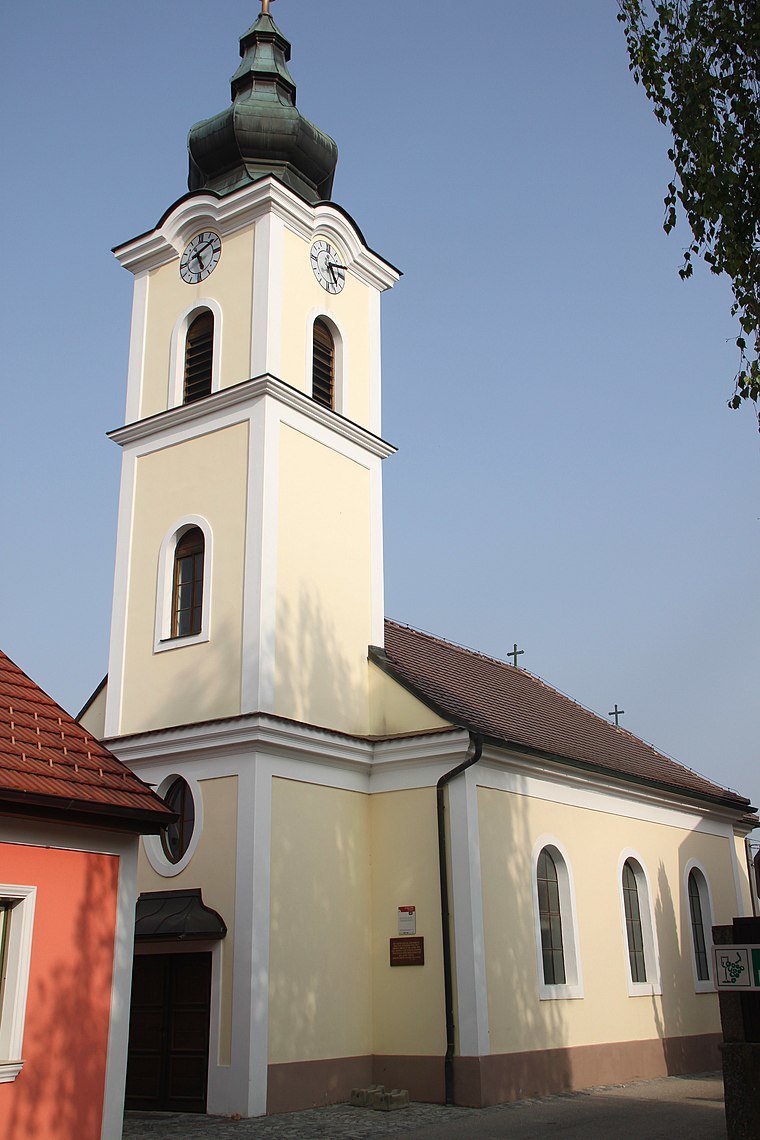
Photo: WA-Wien, CC BY-SA 3.0.
Ortskapelle Wagram ob der Traisen is a church, which is situated 1½ km northeast of Volksschule Nußdorf ob der Traisen.
Nepomukstatue Wagramerstraße Wagram ob der Traisen
Memorial

Photo: WA-Wien, CC BY-SA 3.0 at.
Nepomukstatue Wagramerstraße Wagram ob der Traisen is a memorial, which is situated 1½ km northeast of Volksschule Nußdorf ob der Traisen.
Places in the Area
Nearby places include Meidling and Brunn im Felde.
Meidling
Village

Photo: Fotofriend, CC BY-SA 3.0 at.
Meidling is a village, which is situated 5 km west of Volksschule Nußdorf ob der Traisen.
Brunn im Felde
Village
 Brunn im Felde is a village, which is situated 8 km north of Volksschule Nußdorf ob der Traisen.
Fugging
Village
 Fugging is a village in the municipality of Obritzberg-Rust, Sankt Pölten-Land, Austria. It is located in the state of Lower Austria and was known as Fucking until 1836. Fugging is situated 8 km southwest of Volksschule Nußdorf ob der Traisen.
Volksschule Nußdorf ob der Traisen
- Type: School
- Address: Schulgasse 13, Nußdorf ob der Traisen, 3134
- Category: education
- Location: Nußdorf ob der Traisen, St. Pölten District, Lower Austria, Austria, Central Europe, Europe
- View on OpenStreetMap
Latitude
48.35493° or 48° 21′ 18″ northLongitude
15.69324° or 15° 41′ 36″ eastOpen location code
8FWQ9M3V+X7OpenStreetMap ID
node 5995928228OpenStreetMap feature
amenity=school
This page is based on OpenStreetMap, Wikidata, and Wikimedia Commons.
We’d love your help improving our open data sources. Thank you for contributing.
Satellite Map
Discover Volksschule Nußdorf ob der Traisen from above in high-definition satellite imagery.
Notable Places Nearby
Highlights include Kirchenplatz and Pfarrkirche.
Nearby Places
Explore places such as Musikschule Nußdorf ob der Traisen and Lehrerparkplatz.
Lower Austria: Must-Visit Destinations
Delve into St. Pölten, Wiener Neustadt, Amstetten, and Klosterneuburg.
Curious Schools to Discover
Uncover intriguing schools from every corner of the globe.
About Mapcarta. Data © OpenStreetMap contributors and available under the Open Database License". Text is available under the CC BY-SA 4.0 license, except for photos, directions, and the map. Photo: Lonezor, CC BY-SA 3.0.