Syon Lane
Syon Lane is a railway stop in Hounslow, Greater London, England. Syon Lane is situated nearby to the recreation area Isleworth & Syon Sports Ground, as well as near The Green School for Girls.| Tap on a place to explore it |
Places of Interest Nearby
Highlights include Syon Lane railway station and Syon House.
Syon Lane railway station
Railway station

Photo: Sunil060902, CC BY-SA 3.0.
Syon Lane railway station in London fare zone 4 is on the Hounslow Loop Line and borders the Spring Grove and New Brentford neighbourhoods of the London Borough of Hounslow in west London.
Syon House
Manor estate

Photo: Rpriv2000, CC BY-SA 3.0.
Syon House is the west London residence of the Duke of Northumberland. A Grade I listed building, it lies within the 200-acre Syon Park, in the London Borough of Hounslow. Syon House is situated 3,300 feet southeast of Syon Lane.
St Francis of Assisi Church, Isleworth
Church

Photo: John Salmon, CC BY-SA 2.0.
St Francis of Assisi Church, Isleworth is a Church of England parish church on the Great West Road in Isleworth, London. It was designed by Ernest Charles Shearman, with the foundation stone laid in 1933 and completion two years later. St Francis of Assisi Church, Isleworth is situated 1,500 feet west of Syon Lane.
Places in the Area
Nearby places include Brentford and Spring Grove.
Brentford
Town

Photo: Patche99z, Public domain.
Brentford is a suburban town in West London, England and part of the London Borough of Hounslow. It lies at the confluence of the River Brent and the Thames, 8 miles west of Charing Cross.
Spring Grove
Suburb
Spring Grove is the north-western district of the town of Isleworth within the Borough of Hounslow in London, England. In general terms it lies east of the district of Lampton; north of the district of Woodlands; west of the Barnes-to-Feltham railway loop line; and south of the district of Osterley.
Isleworth
Town
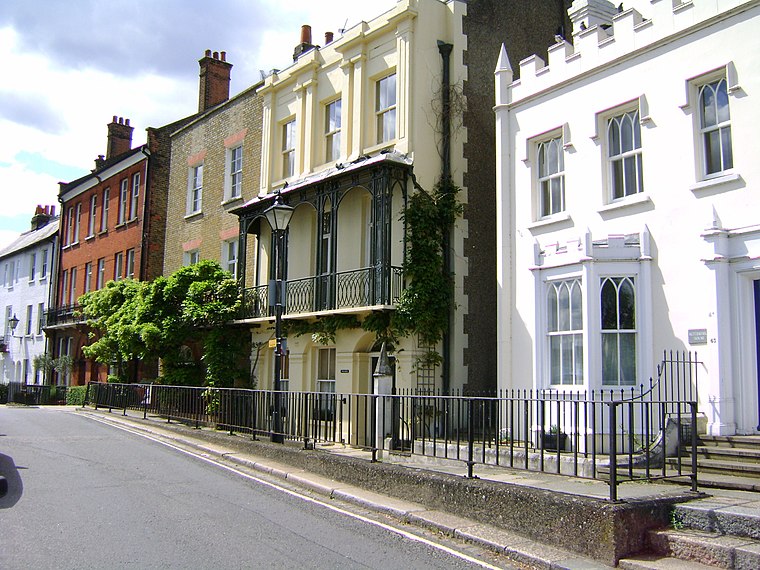
Photo: Maxwell Hamilton, CC BY-SA 3.0.
Isleworth is a suburban town in the London Borough of Hounslow, West London, England. It lies immediately east of Hounslow and west of the River Thames and its tributary the River Crane.
Syon Lane
- Type: Railway stop
- Categories: transport stop and transportation
- Location: Hounslow, Greater London, England, United Kingdom, Britain and Ireland, Europe
- View on OpenStreetMap
Latitude
51.48188° or 51° 28′ 55″ northLongitude
-0.32471° or 0° 19′ 29″ westOpen location code
9C3XFMJG+Q4OpenStreetMap ID
node 6023348735OpenStreetMap feature
public_transport=stop_positionOpenStreetMap feature
railway=stop
This page is based on OpenStreetMap, Wikidata, and Wikimedia Commons.
We’d love your help improving our open data sources. Thank you for contributing.
Satellite Map
Discover Syon Lane from above in high-definition satellite imagery.
Places with the Same Name
Discover other places named “Syon Lane”.
Notable Places Nearby
Highlights include Isleworth & Syon Sports Ground and The Green School for Girls.
Nearby Places
Explore places such as Syon Lane Station and Syon Lane.
England: Must-Visit Destinations
Delve into London, Manchester, Sheffield, and Leeds.
Curious Railway Stops to Discover
Uncover intriguing railway stops from every corner of the globe.
About Mapcarta. Data © OpenStreetMap contributors and available under the Open Database License". Text is available under the CC BY-SA 4.0 license, except for photos, directions, and the map. Photo: sidibousaid, CC BY 2.0.