Choy Fu Fish & Chips
Choy Fu Fish & Chips is a fast food restaurant in Dacorum District, Hertfordshire, England. Choy Fu Fish & Chips is situated nearby to Long Chaulden Post Office, as well as near St George’s United Reformed Church.| Tap on a place to explore it |
Places of Interest Nearby
Highlights include St Stephen and Hemel Hempstead railway station.

Hemel Hempstead railway station
Railway station

Photo: Jack Hill, CC BY-SA 2.0.
Hemel Hempstead railway station lies in Boxmoor, on the western edge of the town of Hemel Hempstead, Hertfordshire, England. It is located 24+1⁄2 miles north-west of London Euston on the West Coast Main Line. Hemel Hempstead railway station is situated 3,500 feet southeast of Choy Fu Fish & Chips.
St Alban’s Church
Church

Photo: Nigel Cox, CC BY-SA 2.0.
St Alban’s Church is situated 3,200 feet northeast of Choy Fu Fish & Chips.
Places in the Area
Nearby places include Chaulden and Boxmoor.
Chaulden
Suburb
Chaulden is a residential district in Hemel Hempstead, Hertfordshire, England, located west of the town centre and bordering on open countryside. It was an early development in the construction of Hemel Hempstead new town, commenced in 1953 and has its own neighbourhood shopping centre.
Boxmoor
Suburb

Photo: Kaly99, CC BY-SA 3.0.
Boxmoor is part of Hemel Hempstead in Hertfordshire. It is within the district of Dacorum and comprises mainly 19th-century housing and meadowland, with transport links from London to the Midlands.
Bourne End
Village
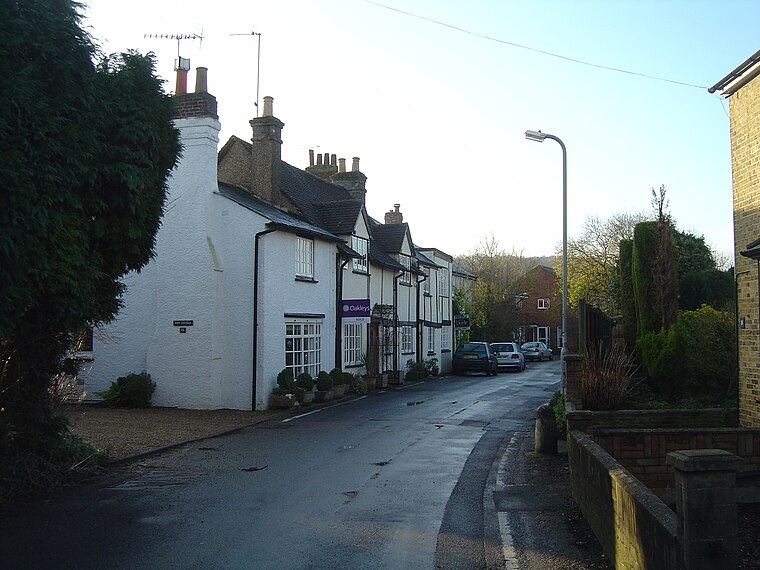
Photo: Voice of Clam, Public domain.
Bourne End is a village in Hertfordshire, England. It is situated on the ancient Roman Akeman Street between Berkhamsted and Hemel Hempstead, on the former A41 London-Liverpool Trunk Route, on the Grand Union Canal that runs between London and Birmingham and at the confluence of the Chiltern chalk stream, the Bourne Gutter and the River Bulbourne.
Choy Fu Fish & Chips
- Type: Fast food restaurant
- Cuisine: Chinese
- Categories: food and restaurant
- Location: Dacorum District, Hertfordshire, East of England, England, United Kingdom, Britain and Ireland, Europe
- View on OpenStreetMap
Latitude
51.74978° or 51° 44′ 59″ northLongitude
-0.50108° or 0° 30′ 4″ westOpen location code
9C3XPFXX+WHOpenStreetMap ID
node 6025360051OpenStreetMap feature
amenity=fast_foodOpenStreetMap attribute
cuisine=chinese
This page is based on OpenStreetMap, Wikidata, and Wikimedia Commons.
We’d love your help improving our open data sources. Thank you for contributing.
Satellite Map
Discover Choy Fu Fish & Chips from above in high-definition satellite imagery.
Notable Places Nearby
Highlights include Long Chaulden Post Office and St George’s United Reformed Church.
Nearby Places
Explore places such as B Hairdressing and Co-op Food.
Hertfordshire: Must-Visit Destinations
Delve into St Albans, Watford, Stevenage, and Hertford.
Curious Fast Food Restaurants to Discover
Uncover intriguing fast food restaurants from every corner of the globe.
About Mapcarta. Data © OpenStreetMap contributors and available under the Open Database License". Text is available under the CC BY-SA 4.0 license, except for photos, directions, and the map. Photo: Wikimedia, CC0.