Sillas
Sillas is a bus stop in Imus, Cavite, Calabarzon. Sillas is situated nearby to the health club Anytime Fitness, as well as near the government office National Police Clearance.| Tap on a place to explore it |
Places of Interest Nearby
Highlights include Shrine of the National Flag and Imus Cathedral.
Shrine of the National Flag
Park

Photo: Schadow1, CC BY-SA 4.0.
Shrine of the National Flag is a park, which is situated 2½ km west of Sillas.
Imus Cathedral
Church

Photo: Ramon FVelasquez, CC BY-SA 3.0.
The Diocesan Shrine and Parish of Our Lady of the Pillar, commonly known as Imus Cathedral, is a Roman Catholic cathedral church in the city of Imus, in the province of Cavite, Philippines. Imus Cathedral is situated 3½ km north of Sillas.
Imus Historical Museum
Museum
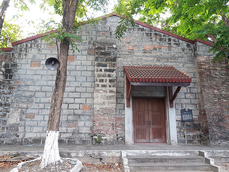
Photo: Seav, CC BY-SA 4.0.
Imus Historical Museum is situated 3½ km north of Sillas.
Places in the Area
Nearby places include Kawit and Bacoor.
Kawit

Photo: Mardonie Cruz, CC BY-SA 3.0.
Kawit, officially the Municipality of Kawit, is an urban municipality in the province of Cavite, Philippines. According to the 2024 census, it has a population of 123,631.
Bacoor

Photo: Cookie Nguyen, CC BY-SA 4.0.
Bacoor is a suburban city in Cavite. It is a large, overwhelmingly sprawling community south of Manila, and the gateway to the province from the north.
Noveleta

Photo: Ramon FVelasquez, CC BY-SA 3.0.
Noveleta is a town in the western coast of Cavite. It lies to the west of Kawit and has the junction to Cavite City to the north.
Sillas
- Type: Bus stop
- Categories: transport stop and transportation
- Location: Imus, Cavite, Calabarzon, Luzon, Philippines, Southeast Asia, Asia
- View on OpenStreetMap
Latitude
14.39947° or 14° 23′ 58″ northLongitude
120.94016° or 120° 56′ 25″ eastOperator
City Government of ImusOpen location code
7Q629WXR+Q3OpenStreetMap ID
node 6046259610OpenStreetMap feature
public_transport=stop_position
This page is based on OpenStreetMap, Wikidata, and Wikimedia Commons.
We’d love your help improving our open data sources. Thank you for contributing.
Satellite Map
Discover Sillas from above in high-definition satellite imagery.
Places with the Same Name
Discover other places named “Sillas”.
Notable Places Nearby
Highlights include Anytime Fitness and National Police Clearance.
Nearby Places
Explore places such as Sillas and Sagittarius Party Needs Shop.
Cavite: Must-Visit Destinations
Delve into Tagaytay, Dasmariñas, Cavite City, and Bacoor.
Curious Bus Stops to Discover
Uncover intriguing bus stops from every corner of the globe.
About Mapcarta. Data © OpenStreetMap contributors and available under the Open Database License". Text is available under the CC BY-SA 4.0 license, except for photos, directions, and the map. Photo: Aerous, CC BY-SA 3.0.