Oberer Stollen Bonscheuer
Oberer Stollen Bonscheuer is an adit in Mudershausen, Rhein-Lahn-Kreis, Rhineland-Palatinate. Oberer Stollen Bonscheuer is situated nearby to the reservoir Wasserwerk Aarbergen, as well as near the recreation area Panoramablick.| Tap on a place to explore it |
Places of Interest Nearby
Highlights include Hohlenfels Castle and Zollhaus mine.
Hohlenfels Castle
Castle

Photo: Johannes Robalotoff, CC BY-SA 3.0 de.
Hohlenfels Castle is situated 2½ km north of Oberer Stollen Bonscheuer.
Zollhaus mine
Mine

Photo: Agricolax, CC BY-SA 4.0.
Zollhaus mine is situated 1¼ km north of Oberer Stollen Bonscheuer.
Schwalbach Castle
Castle

Photo: Wikimedia, CC BY-SA 2.0 de.
Schwalbach Castle is situated 3½ km northeast of Oberer Stollen Bonscheuer.
Places in the Area
Nearby places include Schiesheim and Berghausen.
Schiesheim
Village
Schiesheim is a municipality in the district of Rhein-Lahn, in Rhineland-Palatinate, in western Germany. It belongs to the association community of Aar-Einrich.
Berghausen
Village
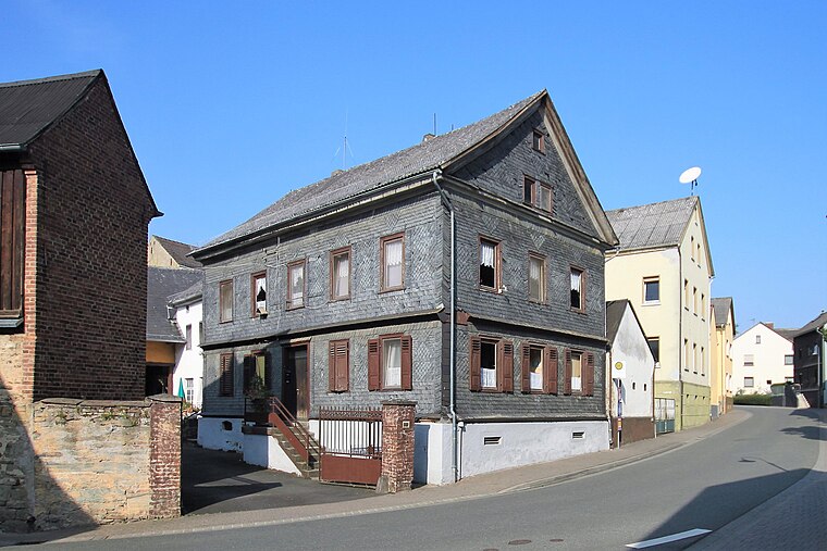
Photo: KaminskyPeter, CC BY-SA 4.0.
Berghausen is a municipality in the district of Rhein-Lahn, in Rhineland-Palatinate, in western Germany. It belongs to the association community of Aar-Einrich. Berghausen is situated 2½ km southwest of Oberer Stollen Bonscheuer.
Zollhaus
Village

Photo: Jürgen Jankowski, Public domain.
Zollhaus is a village, which is situated 2½ km northeast of Oberer Stollen Bonscheuer.
Oberer Stollen Bonscheuer
- Type: Adit
- Category: industry
- Location: Mudershausen, Rhein-Lahn-Kreis, Rhineland-Palatinate, Germany, Central Europe, Europe
- View on OpenStreetMap
Latitude
50.26985° or 50° 16′ 12″ northLongitude
8.0372° or 8° 2′ 14″ eastOpen location code
9F2C729P+WVOpenStreetMap ID
node 6068849914OpenStreetMap feature
man_made=adit
This page is based on OpenStreetMap, Wikidata, and Wikimedia Commons.
We’d love your help improving our open data sources. Thank you for contributing.
Satellite Map
Discover Oberer Stollen Bonscheuer from above in high-definition satellite imagery.
Notable Places Nearby
Highlights include Wasserwerk Aarbergen and Panoramablick.
Nearby Places
Explore places such as Fahr- und Wetterschacht Bonscheuer and Schacht Bonscheuer.
Rhineland-Palatinate: Must-Visit Destinations
Delve into Mainz, Trier, Koblenz, and Worms.
Curious Adits to Discover
Uncover intriguing adits from every corner of the globe.
About Mapcarta. Data © OpenStreetMap contributors and available under the Open Database License". Text is available under the CC BY-SA 4.0 license, except for photos, directions, and the map. Photo: Traveler100, CC BY-SA 3.0.