City of Industry station
City of Industry station is a Metrolink train station located at 600 South Brea Canyon Road in City of Industry, California. Metrolink's Riverside Line trains between Los Angeles Union Station and Riverside–Downtown station stop here.| Tap on a place to explore it |
- Type: Railway station
- Description: Metrolink station in Industry, California, USA
- Also known as: “Industry”
Places of Interest Nearby
Highlights include Walnut High School and Suzanne Middle School.
Walnut High School
School
Walnut High School is a public high school located at Walnut, California, among the San Jose Hills of the San Gabriel Valley in Southern California. Walnut High School is also located within the Walnut Valley Unified School District, which has also been ranked by sources to be one of the top public school districts in all of Southern California. Walnut High School is situated 1 mile north of City of Industry station.
Suzanne Middle School
School
The Walnut Valley Unified School District is located in the eastern portion of Los Angeles County and is a part of the Greater Los Angeles Area of the U.S. state of California. Suzanne Middle School is situated 1¼ miles north of City of Industry station.
Diamond Bar High School
School

Photo: TheWikiChen, Public domain.
Diamond Bar High School is a public high school located in Diamond Bar, California, as part of the Walnut Valley Unified School District. Diamond Bar High School's mascot is the Brahma, and the school colors are purple and gold. Diamond Bar High School is situated 2 miles south of City of Industry station.
Places in the Area
Nearby places include Walnut and Diamond Bar.
Walnut
Town

Photo: sdb 86, CC BY-SA 2.0.
Walnut is a city in the eastern part of Los Angeles County in the U.S. state of California. According to the 2020 census, the city had a population of 28,430.
Diamond Bar
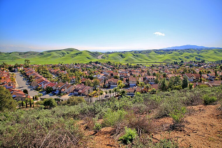
Photo: Thebluewriter, CC BY-SA 4.0.
Diamond Bar is a city in eastern Los Angeles County, California, United States. The 2020 census listed a population of 55,072. It is one of a few cities in California with a majority Asian population.
South San Jose Hills
Locality
South San Jose Hills is an unincorporated community and census-designated place in Los Angeles County, California, United States. The population was 19,855 at the 2020 census, down from 20,551 at the 2010 census. South San Jose Hills is situated 3 miles west of City of Industry station.
City of Industry station
- Categories: station located on surface, station, and transportation
- Location: Los Angeles, Southern California, California, United States, North America
- View on OpenStreetMap
Latitude
34.00807° or 34° 0′ 29″ northLongitude
-117.84545° or 117° 50′ 44″ westNetwork
MetrolinkOpen location code
85642553+6ROpenStreetMap ID
node 6116782286OpenStreetMap feature
public_transport=stationOpenStreetMap feature
railway=stationWikidata ID
Q6028120
This page is based on OpenStreetMap, Wikidata, Wikimedia Commons, and Wikipedia.
We’d love your help improving our open data sources. Thank you for contributing.
Satellite Map
Discover City of Industry station from above in high-definition satellite imagery.
In Other Languages
From French to Spanish—“City of Industry station” goes by many names.
- French: “gare d’Industry”
- French: “Industry”
- Spanish: “Industry (Metrolink)”
Notable Places Nearby
Highlights include Washington Park and LA Fitness.
Nearby Places
Explore places such as Industry and ampm.
Los Angeles: Must-Visit Destinations
Delve into Hollywood, San Gabriel Valley, San Fernando Valley, and Long Beach.
Curious Railway Stations to Discover
Uncover intriguing railway stations from every corner of the globe.
About Mapcarta. Data © OpenStreetMap contributors and available under the Open Database License". Text is available under the CC BY-SA 4.0 license, except for photos, directions, and the map. Description text is based on the Wikipedia page “City of Industry station”. Photo: Mfield, CC BY-SA 3.0.