Art Smith Trailhead
Art Smith Trailhead is a trailhead in Riverside County, Southern California, California. Art Smith Trailhead is situated nearby to the tourism office National Monument Visitor’s Center, as well as near the peak Mild.| Tap on a place to explore it |
Places in the Area
Nearby places include Palm Desert and Indian Wells.
Palm Desert

Photo: David Balmer, CC BY 3.0.
Palm Desert is a city of 53,000 people in the desert of California between Palm Springs and Indio. It lies in the Coachella Valley at the base of the San Jacinto Mountains.
Indian Wells
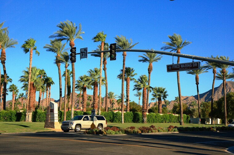
Photo: Patrick Pelster, CC BY-SA 3.0.
Indian Wells is a city in Riverside County, California, United States, in the Coachella Valley. Incorporated in 1967, it lies in between the cities of Palm Desert and La Quinta.
Rancho Mirage
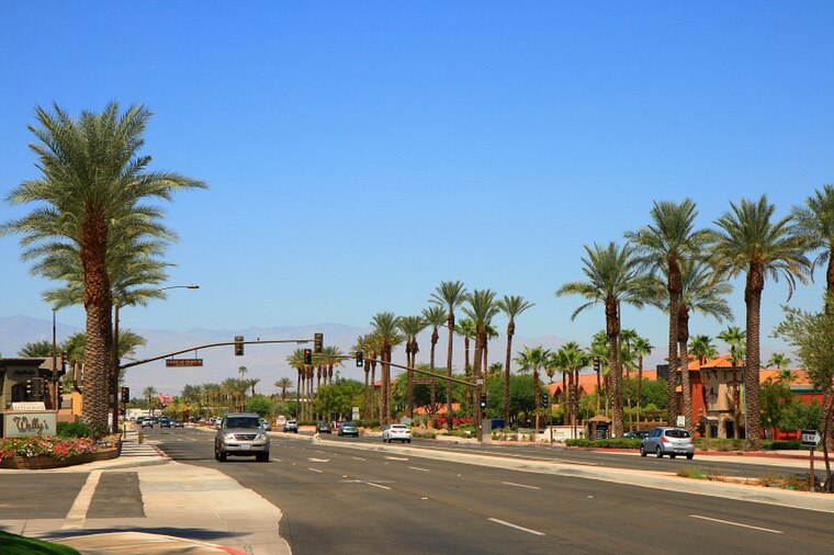
Photo: Patrick Pelster, CC BY-SA 3.0.
Rancho Mirage is a city in Riverside County, California, United States. The city is a low-density desert community with resorts, golf courses, and country clubs within the Colorado Desert section of the Sonoran Desert.
Art Smith Trailhead
- Type: Trailhead
- Category: sports location
- Location: Riverside County, Southern California, California, United States, North America
- View on OpenStreetMap
Latitude
33.67134° or 33° 40′ 17″ northLongitude
-116.40949° or 116° 24′ 34″ westOpen location code
8555MHCR+G6OpenStreetMap ID
node 6159239564OpenStreetMap feature
highway=trailhead
This page is based on OpenStreetMap, Wikidata, and Wikimedia Commons.
We’d love your help improving our open data sources. Thank you for contributing.
Satellite Map
Discover Art Smith Trailhead from above in high-definition satellite imagery.
Notable Places Nearby
Highlights include National Monument Visitor’s Center and Mild.
Nearby Places
Explore places such as Kelly Heliport and Silver Spur Mobile Manor.
Riverside County: Must-Visit Destinations
Delve into Riverside, Palm Springs, Corona, and Moreno Valley.
Curious Trailheads to Discover
Uncover intriguing trailheads from every corner of the globe.
About Mapcarta. Data © OpenStreetMap contributors and available under the Open Database License". Text is available under the CC BY-SA 4.0 license, except for photos, directions, and the map. Photo: Wikimedia, CC0.