Cerro El Yarumo
Cerro El Yarumo is a peak in Caldas Department, Colombia and has an elevation of 2,268 metres. Cerro El Yarumo is situated nearby to the hamlet Partidas, as well as near the locality Casa blanca.| Tap on a place to explore it |
Places in the Area
Nearby places include Chinchiná.
Chinchiná
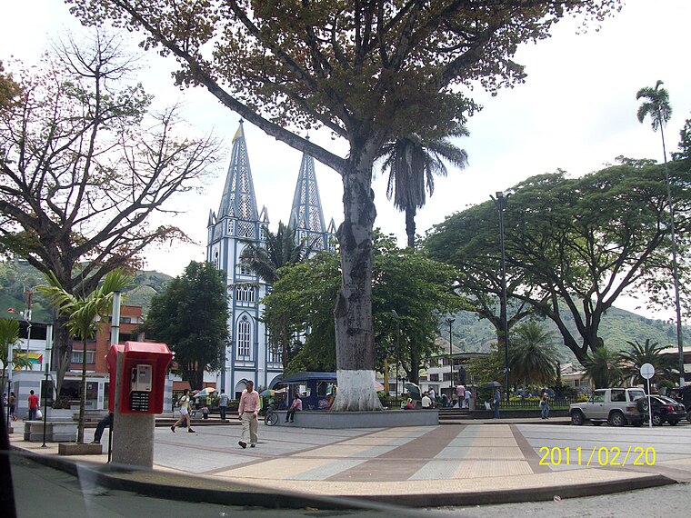
Photo: Azsxdcfvgbhnjm, CC BY 3.0.
Chinchiná, a town in the Zona Cafetera, is known as the heart of Colombian coffee. It is settled in a valley surrounded by coffee plantations. The town is home to the Buendia coffee factory and Cenicafe, a coffee research centre.
Cerro El Yarumo
- Type: Peak with an elevation of 2,268 metres
- Category: landform
- Location: Caldas Department, Colombia, South America
- View on OpenStreetMap
Latitude
4.9372° or 4° 56′ 14″ northLongitude
-75.5697° or 75° 34′ 11″ westElevation
2,268 metres (7,441 feet)Open location code
67P6WCPJ+V4OpenStreetMap ID
node 6161723746OpenStreetMap feature
natural=peak
This page is based on OpenStreetMap, Wikidata, and Wikimedia Commons.
We’d love your help improving our open data sources. Thank you for contributing.
Satellite Map
Discover Cerro El Yarumo from above in high-definition satellite imagery.
Localities in the Area
Explore places such as Partidas and Casa blanca.
Notable Places Nearby
Highlights include x alto La Guerra and Alto Corozal.
Colombia: Must-Visit Destinations
Delve into Bogotá, Medellín, Cali, and Cartagena.
Curious Peaks to Discover
Uncover intriguing peaks from every corner of the globe.
About Mapcarta. Data © OpenStreetMap contributors and available under the Open Database License". Text is available under the CC BY-SA 4.0 license, except for photos, directions, and the map. Photo: jhoudayer, CC BY-SA 2.0.