Miss Browns Bakery
Miss Browns Bakery is a bakery in York, England which is located on Ratcliffe Street. Miss Browns Bakery is situated nearby to St Luke’s Parish Church, as well as near the community center Burton Stone Community Centre.| Tap on a place to explore it |
Places of Interest Nearby
Highlights include York Hospital and Bootham Crescent.
York Hospital
Hospital

Photo: Davies10, CC BY-SA 3.0.
York Hospital is a teaching hospital in York, England. It is managed by York and Scarborough Teaching Hospitals NHS Foundation Trust, an NHS Foundation Trust which also runs several other hospitals in North Yorkshire and the East Riding of Yorkshire, including Scarborough Hospital, Bridlington Hospital and Malton Community Hospital. York Hospital is situated 1,000 feet southeast of Miss Browns Bakery.
Bootham Crescent

Photo: Mattythewhite, CC BY-SA 4.0.
Bootham Crescent in York, England, was the home of York City Football Club and York City Knights rugby league club. With a capacity of 8,256, it was near the city centre, just over a mile from York railway station. Bootham Crescent is situated 1,100 feet south of Miss Browns Bakery.
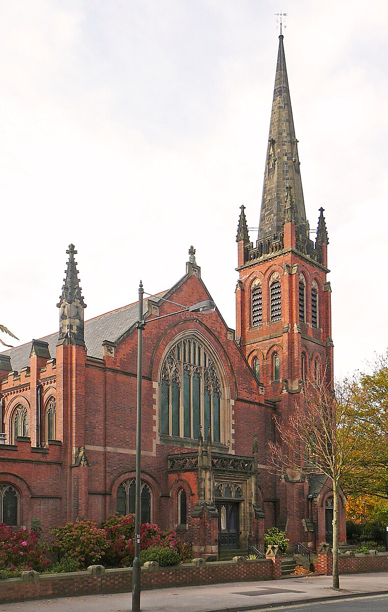
York Minster
Church

Photo: MatzeTrier, CC BY-SA 3.0.
York Minster, formally the Cathedral and Metropolitical Church of Saint Peter in York, is an Anglican cathedral in the city of York, North Yorkshire, England. York Minster is situated 3,900 feet south of Miss Browns Bakery.
Places in the Area
Nearby places include Clifton and The Groves.
Clifton
Suburb
 Clifton is a suburb of York in the unitary authority area of the City of York, in North Yorkshire, England about 1+1⁄2 miles from the city centre. The A19, passes north out of York through Clifton.
The Groves
Neighborhood

Photo: Ian S, CC BY-SA 2.0.
The Groves is a district of York, England, covering the area just north of the city centre between Huntington Road and Haxby Road. The district is near York Hospital and the city ring road.
Bootham
Neighborhood
Bootham is a street in the city of York, England, leading north out of the city centre. It is also the name of the small district surrounding the street.
Miss Browns Bakery
- Type: Bakery
- Address: Ratcliffe Street, YO30 6EN
- Categories: workshop and food
- Location: York, England, United Kingdom, Britain and Ireland, Europe
- View on OpenStreetMap
Latitude
53.97252° or 53° 58′ 21″ northLongitude
-1.08693° or 1° 5′ 13″ westOpen location code
9C5WXWF7+26OpenStreetMap ID
node 6169674845OpenStreetMap feature
craft=bakery
This page is based on OpenStreetMap, Wikidata, and Wikimedia Commons.
We’d love your help improving our open data sources. Thank you for contributing.
Satellite Map
Discover Miss Browns Bakery from above in high-definition satellite imagery.
Notable Places Nearby
Highlights include St Luke’s Parish Church and Burton Stone Community Centre.
Nearby Places
Explore places such as Hips and Snips and Sainsbury’s Local.
England: Must-Visit Destinations
Delve into London, Manchester, Sheffield, and Leeds.
Curious Bakeries to Discover
Uncover intriguing bakeries from every corner of the globe.
About Mapcarta. Data © OpenStreetMap contributors and available under the Open Database License". Text is available under the CC BY-SA 4.0 license, except for photos, directions, and the map. Photo: sidibousaid, CC BY 2.0.